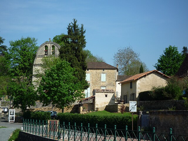
Bourniquel (Bourniquel)

- commune in Dordogne, France
- Country:

- Postal Code: 24150
- Coordinates: 44° 48' 34" N, 0° 46' 29" E


- GPS tracks (wikiloc): [Link]
- Area: 8.96 sq km
- Population: 66
- Web site: http://www.bourniquel.fr/
- Wikipedia en: wiki(en)
- Wikipedia: wiki(fr)
- Wikidata storage: Wikidata: Q1011899
- Wikipedia Commons Category: [Link]
- Freebase ID: [/m/03mfg8y]
- Freebase ID: [/m/03mfg8y]
- GeoNames ID: Alt: [3030901]
- GeoNames ID: Alt: [3030901]
- SIREN number: [212400600]
- SIREN number: [212400600]
- BnF ID: [152517112]
- BnF ID: [152517112]
- VIAF ID: Alt: [307307618]
- VIAF ID: Alt: [307307618]
- PACTOLS thesaurus ID: [pcrt96VdlYjYiV]
- PACTOLS thesaurus ID: [pcrt96VdlYjYiV]
- INSEE municipality code: 24060
- INSEE municipality code: 24060
Shares border with regions:

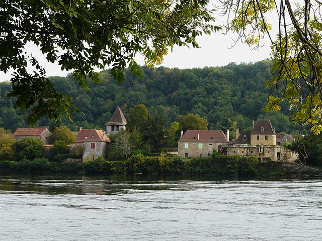
Bayac
- commune in Dordogne, France
- Country:
- Postal Code: 24150
- Coordinates: 44° 48' 14" N, 0° 43' 34" E
- GPS tracks (wikiloc): [Link]
- Area: 10.23 sq km
- Population: 347
- Web site: [Link]

Pontours
- commune in Dordogne, France
- Country:
- Postal Code: 24150
- Coordinates: 44° 50' 11" N, 0° 45' 44" E
- GPS tracks (wikiloc): [Link]
- Area: 6.69 sq km
- Population: 201

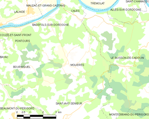
Molières
- commune in Dordogne, France
- Country:
- Postal Code: 24480
- Coordinates: 44° 48' 38" N, 0° 49' 26" E
- GPS tracks (wikiloc): [Link]
- Area: 21.22 sq km
- Population: 326
- Web site: [Link]