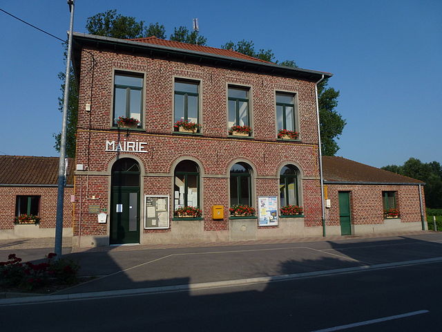
Bousignies (Bousignies)

- commune in Nord, France
- Country:

- Postal Code: 59178
- Coordinates: 50° 26' 5" N, 3° 20' 53" E


- GPS tracks (wikiloc): [Link]
- Area: 3.14 sq km
- Population: 322
- Wikipedia en: wiki(en)
- Wikipedia: wiki(fr)
- Wikidata storage: Wikidata: Q659355
- Wikipedia Commons Category: [Link]
- Freebase ID: [/m/03mh450]
- Freebase ID: [/m/03mh450]
- GeoNames ID: Alt: [6454399]
- GeoNames ID: Alt: [6454399]
- SIREN number: [215901000]
- SIREN number: [215901000]
- BnF ID: [15266675f]
- BnF ID: [15266675f]
- VIAF ID: Alt: [242291433]
- VIAF ID: Alt: [242291433]
- INSEE municipality code: 59100
- INSEE municipality code: 59100
Shares border with regions:


Tilloy-lez-Marchiennes
- commune in Nord, France
- Country:
- Postal Code: 59870
- Coordinates: 50° 25' 42" N, 3° 19' 7" E
- GPS tracks (wikiloc): [Link]
- Area: 5.5 sq km
- Population: 541


Rosult
- commune in Nord, France
- Country:
- Postal Code: 59230
- Coordinates: 50° 26' 52" N, 3° 21' 50" E
- GPS tracks (wikiloc): [Link]
- Area: 8.16 sq km
- Population: 1905

Millonfosse
- commune in Nord, France
- Country:
- Postal Code: 59178
- Coordinates: 50° 26' 8" N, 3° 23' 27" E
- GPS tracks (wikiloc): [Link]
- Area: 3.48 sq km
- Population: 691


Brillon
- commune in Nord, France
- Country:
- Postal Code: 59178
- Coordinates: 50° 26' 9" N, 3° 19' 49" E
- GPS tracks (wikiloc): [Link]
- Area: 2.87 sq km
- Population: 737