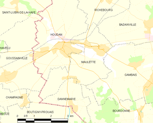
Boutigny-Prouais (Boutigny-Prouais)

- commune in Eure-et-Loir, France
- Country:

- Postal Code: 28410
- Coordinates: 48° 44' 41" N, 1° 35' 10" E


- GPS tracks (wikiloc): [Link]
- AboveSeaLevel: 139 м m
- Area: 32.5 sq km
- Population: 1777
- Web site: http://www.boutignyprouais.fr/
- Wikipedia en: wiki(en)
- Wikipedia: wiki(fr)
- Wikidata storage: Wikidata: Q659159
- Wikipedia Commons Category: [Link]
- Freebase ID: [/m/03nqsbh]
- GeoNames ID: Alt: [6616320]
- SIREN number: [212800569]
- BnF ID: [15253987b]
- INSEE municipality code: 28056
Shares border with regions:

Condé-sur-Vesgre
- commune in Yvelines, France
- Country:
- Postal Code: 78113
- Coordinates: 48° 44' 30" N, 1° 39' 39" E
- GPS tracks (wikiloc): [Link]
- Area: 10.71 sq km
- Population: 1155
- Web site: [Link]


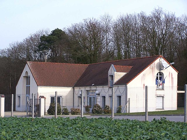
Bourdonné
- commune in Yvelines, France
- Country:
- Postal Code: 78113
- Coordinates: 48° 45' 21" N, 1° 39' 48" E
- GPS tracks (wikiloc): [Link]
- Area: 10.76 sq km
- Population: 504

Maulette
- commune in Yvelines, France
- Country:
- Postal Code: 78550
- Coordinates: 48° 47' 35" N, 1° 37' 14" E
- GPS tracks (wikiloc): [Link]
- Area: 7.89 sq km
- Population: 904


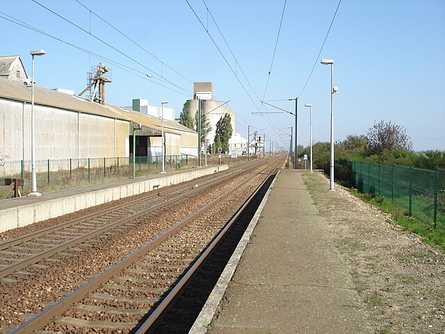
Dannemarie
- commune in Yvelines, France
- Country:
- Postal Code: 78550
- Coordinates: 48° 45' 42" N, 1° 36' 25" E
- GPS tracks (wikiloc): [Link]
- Area: 3.44 sq km
- Population: 204

Grandchamp
- commune in Yvelines, France
- Country:
- Postal Code: 78113
- Coordinates: 48° 42' 28" N, 1° 36' 4" E
- GPS tracks (wikiloc): [Link]
- Area: 6.05 sq km
- Population: 324
- Web site: [Link]
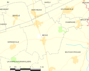
Broué
- commune in Eure-et-Loir, France
- Country:
- Postal Code: 28410
- Coordinates: 48° 44' 54" N, 1° 31' 19" E
- GPS tracks (wikiloc): [Link]
- Area: 12.03 sq km
- Population: 890
- Web site: [Link]