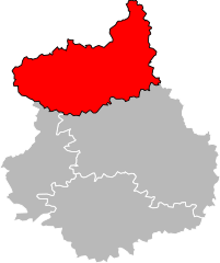
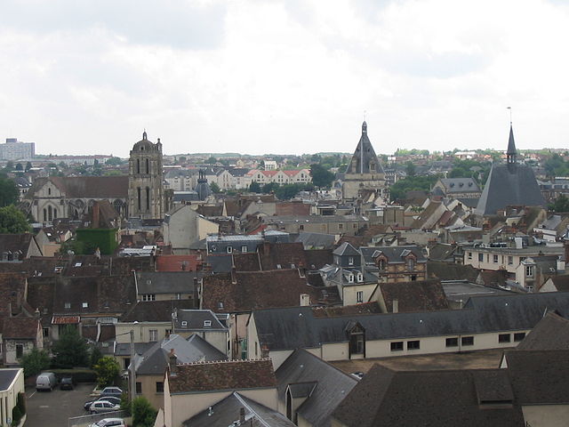
arrondissement of Dreux (arrondissement de Dreux)
- arrondissement of France
- Country:

- Capital: Dreux
- Coordinates: 48° 40' 0" N, 1° 15' 0" E


- GPS tracks (wikiloc): [Link]
- Area: 1500 sq km
- Population: 129269
- Wikipedia en: wiki(en)
- Wikipedia: wiki(fr)
- Wikidata storage: Wikidata: Q701155
- Freebase ID: [/m/09551j]
- GeoNames ID: Alt: [3020809]
- INSEE arrondissement code: [283]
- GNS Unique Feature ID: -1424545
Includes regions:

canton of Châteauneuf-en-Thymerais
- canton of France (until March 2015)
- Country:

- Capital: Châteauneuf-en-Thymerais
- Coordinates: 48° 36' 5" N, 1° 16' 4" E


- GPS tracks (wikiloc): [Link]

canton of Nogent-le-Roi
- canton of France (until March 2015)
- Country:

- Capital: Nogent-le-Roi
- Coordinates: 48° 40' 12" N, 1° 31' 10" E


- GPS tracks (wikiloc): [Link]

canton of Ferté-Vidame
- canton of France (until March 2015)
- Country:

- Capital: La Ferté-Vidame
- Coordinates: 48° 38' 22" N, 0° 53' 58" E


- GPS tracks (wikiloc): [Link]


canton of Anet
- canton of France
- Country:

- Capital: Anet
- Coordinates: 48° 49' 24" N, 1° 29' 12" E


- GPS tracks (wikiloc): [Link]
- Population: 24704


