
Bouzigues (Bouzigues)

- commune in Hérault, France
- Country:

- Postal Code: 34140
- Coordinates: 43° 26' 53" N, 3° 39' 29" E


- GPS tracks (wikiloc): [Link]
- AboveSeaLevel: 5 м m
- Area: 3.05 sq km
- Population: 1724
- Web site: http://www.bouzigues.fr
- Wikipedia en: wiki(en)
- Wikipedia: wiki(fr)
- Wikidata storage: Wikidata: Q769568
- Wikipedia Commons Gallery: [Link]
- Wikipedia Commons Category: [Link]
- Freebase ID: [/m/03gr5xf]
- Freebase ID: [/m/03gr5xf]
- Freebase ID: [/m/03gr5xf]
- GeoNames ID: Alt: [6448467]
- GeoNames ID: Alt: [6448467]
- GeoNames ID: Alt: [6448467]
- SIREN number: [213400393]
- SIREN number: [213400393]
- SIREN number: [213400393]
- BnF ID: [15256640k]
- BnF ID: [15256640k]
- BnF ID: [15256640k]
- PACTOLS thesaurus ID: [pcrtgYJVjKD2zj]
- PACTOLS thesaurus ID: [pcrtgYJVjKD2zj]
- PACTOLS thesaurus ID: [pcrtgYJVjKD2zj]
- INSEE municipality code: 34039
- INSEE municipality code: 34039
- INSEE municipality code: 34039
Shares border with regions:

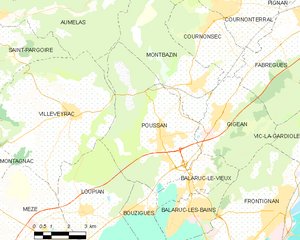
Poussan
- commune in Hérault, France
- Country:
- Postal Code: 34560
- Local Dialing Code: 467
- Coordinates: 43° 29' 19" N, 3° 40' 12" E
- GPS tracks (wikiloc): [Link]
- AboveSeaLevel: 23 м m
- Area: 30.08 sq km
- Population: 6030
- Web site: [Link]

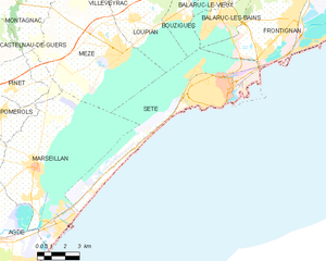
Sète
- commune in Hérault, France
- Country:
- Postal Code: 34200
- Coordinates: 43° 24' 16" N, 3° 41' 48" E
- GPS tracks (wikiloc): [Link]
- Area: 24.21 sq km
- Population: 43620
- Web site: [Link]


Loupian
- commune in Hérault, France
- Country:
- Postal Code: 34140
- Coordinates: 43° 27' 0" N, 3° 36' 50" E
- GPS tracks (wikiloc): [Link]
- AboveSeaLevel: 8 м m
- Area: 16 sq km
- Population: 2161


Balaruc-le-Vieux
- commune in Hérault, France
- Country:
- Postal Code: 34540
- Coordinates: 43° 27' 37" N, 3° 41' 5" E
- GPS tracks (wikiloc): [Link]
- Area: 5.92 sq km
- Population: 2611


Balaruc-les-Bains
- commune in Hérault, France
- Country:
- Postal Code: 34540
- Coordinates: 43° 26' 27" N, 3° 40' 38" E
- GPS tracks (wikiloc): [Link]
- Area: 8.66 sq km
- Population: 6851