Bretteville-sur-Odon (Bretteville-sur-Odon)

- commune in Calvados, France
- Country:

- Postal Code: 14760
- Coordinates: 49° 10' 12" N, 0° 24' 50" E


- GPS tracks (wikiloc): [Link]
- Area: 6.46 sq km
- Population: 3823
- Web site: http://www.brettevillesurodon.fr
- Wikipedia en: wiki(en)
- Wikipedia: wiki(fr)
- Wikidata storage: Wikidata: Q326435
- Wikipedia Commons Category: [Link]
- Freebase ID: [/m/02jcc2]
- Freebase ID: [/m/02jcc2]
- GeoNames ID: Alt: [3030233]
- GeoNames ID: Alt: [3030233]
- SIREN number: [211401013]
- SIREN number: [211401013]
- BnF ID: [152475154]
- BnF ID: [152475154]
- VIAF ID: Alt: [136373526]
- VIAF ID: Alt: [136373526]
- Library of Congress authority ID: Alt: [no2001097469]
- Library of Congress authority ID: Alt: [no2001097469]
- INSEE municipality code: 14101
- INSEE municipality code: 14101
Shares border with regions:


Éterville
- commune in Calvados, France
- Country:
- Postal Code: 14930
- Coordinates: 49° 8' 38" N, 0° 25' 31" E
- GPS tracks (wikiloc): [Link]
- Area: 4.87 sq km
- Population: 1580


Louvigny
- commune in Calvados, France
- Country:
- Postal Code: 14111
- Coordinates: 49° 9' 28" N, 0° 23' 31" E
- GPS tracks (wikiloc): [Link]
- Area: 5.64 sq km
- Population: 2788
- Web site: [Link]
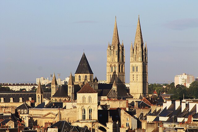

Caen
- commune in Calvados, France
- Country:
- Postal Code: 14000
- Coordinates: 49° 10' 56" N, 0° 22' 14" E
- GPS tracks (wikiloc): [Link]
- AboveSeaLevel: 8 м m
- Area: 25.7 sq km
- Population: 106260
- Web site: [Link]

Carpiquet
- commune in Calvados, France
- Country:
- Postal Code: 14650
- Coordinates: 49° 11' 10" N, 0° 26' 40" E
- GPS tracks (wikiloc): [Link]
- AboveSeaLevel: 69 м m
- Area: 5.88 sq km
- Population: 2401
- Web site: [Link]


Verson
- commune in Calvados, France
- Country:
- Postal Code: 14790
- Coordinates: 49° 9' 18" N, 0° 27' 9" E
- GPS tracks (wikiloc): [Link]
- Area: 10.36 sq km
- Population: 3498
- Web site: [Link]