Bugnières (Bugnières)

- commune in Haute-Marne, France
- Country:

- Postal Code: 52210
- Coordinates: 47° 56' 38" N, 5° 6' 5" E


- GPS tracks (wikiloc): [Link]
- Area: 18.29 sq km
- Population: 154
- Wikipedia en: wiki(en)
- Wikipedia: wiki(fr)
- Wikidata storage: Wikidata: Q1102947
- Wikipedia Commons Category: [Link]
- Freebase ID: [/m/03nts9q]
- Freebase ID: [/m/03nts9q]
- GeoNames ID: Alt: [6449619]
- GeoNames ID: Alt: [6449619]
- SIREN number: [215200551]
- SIREN number: [215200551]
- BnF ID: [15263332m]
- BnF ID: [15263332m]
- INSEE municipality code: 52082
- INSEE municipality code: 52082
Shares border with regions:
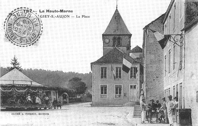

Giey-sur-Aujon
- commune in Haute-Marne, France
- Country:
- Postal Code: 52210
- Coordinates: 47° 54' 23" N, 5° 4' 11" E
- GPS tracks (wikiloc): [Link]
- Area: 30.42 sq km
- Population: 127
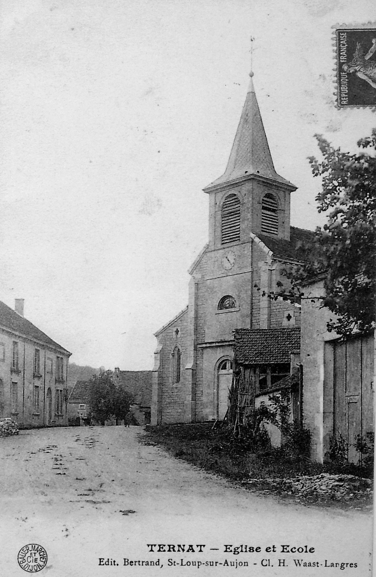

Ternat
- commune in Haute-Marne, France
- Country:
- Postal Code: 52210
- Coordinates: 47° 54' 23" N, 5° 7' 37" E
- GPS tracks (wikiloc): [Link]
- Area: 7.91 sq km
- Population: 60


Richebourg
- commune in Haute-Marne, France
- Country:
- Postal Code: 52120
- Coordinates: 48° 1' 17" N, 5° 3' 35" E
- GPS tracks (wikiloc): [Link]
- Area: 21.2 sq km
- Population: 288
Marac
- commune in Haute-Marne, France
- Country:
- Postal Code: 52260
- Coordinates: 47° 55' 37" N, 5° 11' 45" E
- GPS tracks (wikiloc): [Link]
- Area: 21.92 sq km
- Population: 215


Leffonds
- commune in Haute-Marne, France
- Country:
- Postal Code: 52210
- Coordinates: 47° 58' 24" N, 5° 9' 45" E
- GPS tracks (wikiloc): [Link]
- Area: 36.24 sq km
- Population: 343


Arc-en-Barrois
- commune in Haute-Marne, France
- Country:
- Postal Code: 52210
- Coordinates: 47° 56' 55" N, 5° 0' 34" E
- GPS tracks (wikiloc): [Link]
- Area: 50.44 sq km
- Population: 789