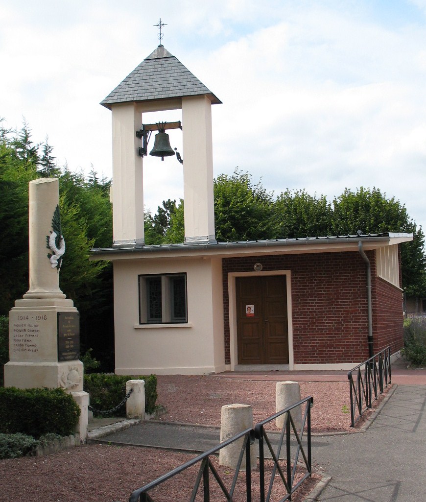
Bussy-lès-Daours (Bussy-lès-Daours)

- commune in Somme, France
- Country:

- Postal Code: 80800
- Coordinates: 49° 54' 37" N, 2° 25' 55" E


- GPS tracks (wikiloc): [Link]
- Area: 8.1 sq km
- Population: 363
- Wikipedia en: wiki(en)
- Wikipedia: wiki(fr)
- Wikidata storage: Wikidata: Q258984
- Wikipedia Commons Category: [Link]
- Freebase ID: [/m/03mcd0z]
- GeoNames ID: Alt: [6444317]
- SIREN number: [218001493]
- INSEE municipality code: 80156
Shares border with regions:

Lamotte-Brebière
- commune in Somme, France
- Country:
- Postal Code: 80450
- Coordinates: 49° 53' 7" N, 2° 23' 25" E
- GPS tracks (wikiloc): [Link]
- Area: 4.25 sq km
- Population: 232
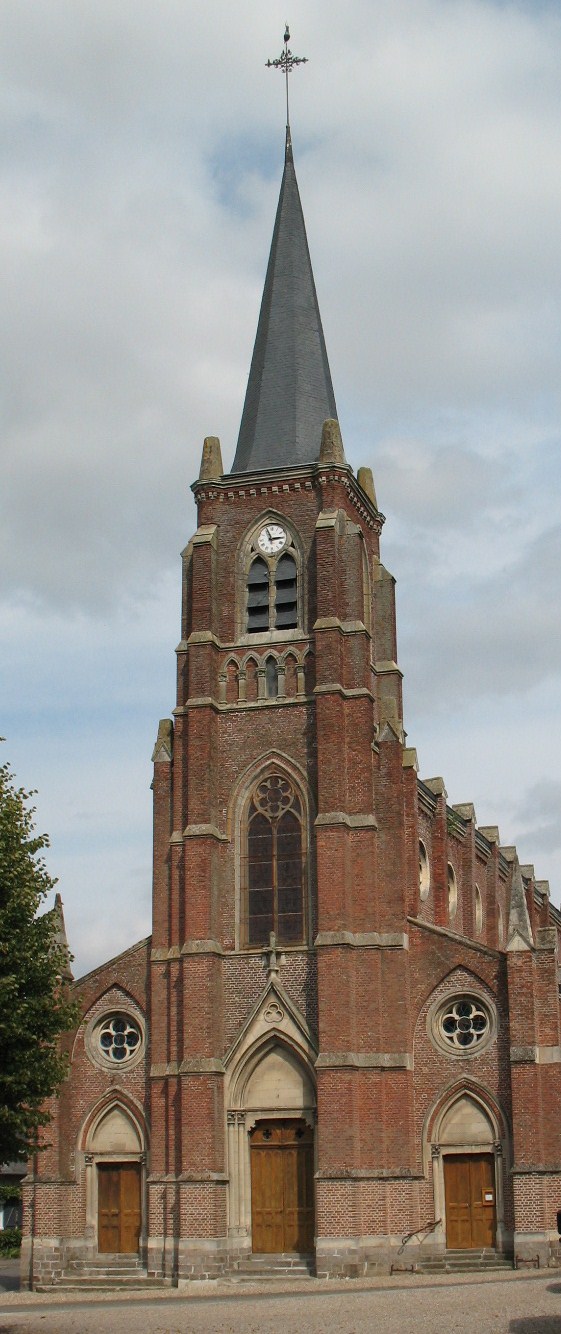

Daours
- commune in Somme, France
- Country:
- Postal Code: 80800
- Coordinates: 49° 54' 7" N, 2° 26' 56" E
- GPS tracks (wikiloc): [Link]
- Area: 8.65 sq km
- Population: 831


Querrieu
- commune in Somme, France
- Country:
- Postal Code: 80115
- Coordinates: 49° 56' 19" N, 2° 25' 50" E
- GPS tracks (wikiloc): [Link]
- Area: 10.03 sq km
- Population: 650


Camon
- commune in Somme, France
- Country:
- Postal Code: 80450
- Coordinates: 49° 53' 13" N, 2° 20' 45" E
- GPS tracks (wikiloc): [Link]
- Area: 12.9 sq km
- Population: 4363
- Web site: [Link]