Querrieu (Querrieu)

- commune in Somme, France
- Country:

- Postal Code: 80115
- Coordinates: 49° 56' 19" N, 2° 25' 50" E


- GPS tracks (wikiloc): [Link]
- Area: 10.03 sq km
- Population: 650
- Wikipedia en: wiki(en)
- Wikipedia: wiki(fr)
- Wikidata storage: Wikidata: Q626399
- Wikipedia Commons Category: [Link]
- Freebase ID: [/m/03qms7g]
- GeoNames ID: Alt: [2984793]
- SIREN number: [218006120]
- BnF ID: [15277125z]
- VIAF ID: Alt: [151592894]
- Library of Congress authority ID: Alt: [no99047933]
- INSEE municipality code: 80650
Shares border with regions:

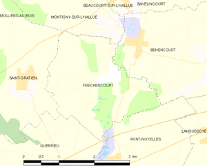
Fréchencourt
- commune in Somme, France
- Country:
- Postal Code: 80260
- Coordinates: 49° 57' 56" N, 2° 26' 28" E
- GPS tracks (wikiloc): [Link]
- Area: 5.59 sq km
- Population: 270


Bussy-lès-Daours
- commune in Somme, France
- Country:
- Postal Code: 80800
- Coordinates: 49° 54' 37" N, 2° 25' 55" E
- GPS tracks (wikiloc): [Link]
- Area: 8.1 sq km
- Population: 363


Pont-Noyelles
- commune in Somme, France
- Country:
- Postal Code: 80115
- Coordinates: 49° 56' 25" N, 2° 26' 28" E
- GPS tracks (wikiloc): [Link]
- Area: 8.62 sq km
- Population: 846
- Web site: [Link]


Camon
- commune in Somme, France
- Country:
- Postal Code: 80450
- Coordinates: 49° 53' 13" N, 2° 20' 45" E
- GPS tracks (wikiloc): [Link]
- Area: 12.9 sq km
- Population: 4363
- Web site: [Link]


Saint-Gratien
- commune in Somme, France
- Country:
- Postal Code: 80260
- Coordinates: 49° 57' 57" N, 2° 24' 31" E
- GPS tracks (wikiloc): [Link]
- Area: 6.95 sq km
- Population: 374