Buzet-sur-Tarn (Buzet-sur-Tarn)
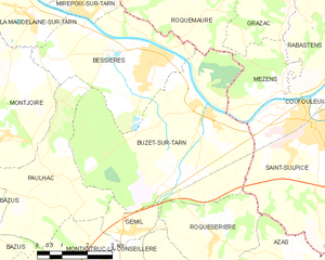
- commune in Haute-Garonne, France
- Country:

- Postal Code: 31660
- Coordinates: 43° 46' 44" N, 1° 37' 59" E


- GPS tracks (wikiloc): [Link]
- Area: 30.19 sq km
- Population: 2655
- Web site: http://www.mairie-buzet-sur-tarn.fr
- Wikipedia en: wiki(en)
- Wikipedia: wiki(fr)
- Wikidata storage: Wikidata: Q1344893
- Wikipedia Commons Category: [Link]
- Freebase ID: [/m/03nq233]
- Freebase ID: [/m/03nq233]
- GeoNames ID: Alt: [3029338]
- GeoNames ID: Alt: [3029338]
- SIREN number: [213100944]
- SIREN number: [213100944]
- BnF ID: [152550907]
- BnF ID: [152550907]
- VIAF ID: Alt: [153699088]
- VIAF ID: Alt: [153699088]
- Library of Congress authority ID: Alt: [n87810302]
- Library of Congress authority ID: Alt: [n87810302]
- PACTOLS thesaurus ID: [pcrtmOOvdVNKyU]
- PACTOLS thesaurus ID: [pcrtmOOvdVNKyU]
- INSEE municipality code: 31094
- INSEE municipality code: 31094
Shares border with regions:
Roquesérière
- commune in Haute-Garonne, France
- Country:

- Postal Code: 31380
- Coordinates: 43° 44' 3" N, 1° 38' 17" E


- GPS tracks (wikiloc): [Link]
- Area: 10.64 sq km
- Population: 717
- Web site: [Link]


Gémil
- commune in Haute-Garonne, France
- Country:

- Postal Code: 31380
- Coordinates: 43° 44' 8" N, 1° 35' 27" E


- GPS tracks (wikiloc): [Link]
- Area: 2.81 sq km
- Population: 274
- Web site: [Link]


Bessières
- commune in Haute-Garonne, France
- Country:

- Postal Code: 31660
- Coordinates: 43° 48' 2" N, 1° 36' 21" E


- GPS tracks (wikiloc): [Link]
- Area: 16.68 sq km
- Population: 3959
- Web site: [Link]


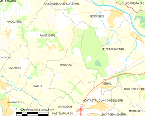
Paulhac
- commune in Haute-Garonne, France
- Country:

- Postal Code: 31380
- Coordinates: 43° 45' 20" N, 1° 33' 22" E


- GPS tracks (wikiloc): [Link]
- Area: 14.03 sq km
- Population: 1235
- Web site: [Link]
Roquemaure
- commune in Tarn, France
- Country:

- Postal Code: 81800
- Coordinates: 43° 48' 48" N, 1° 37' 25" E


- GPS tracks (wikiloc): [Link]
- Area: 15.77 sq km
- Population: 435
- Web site: [Link]


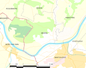
Mézens
- commune in Tarn, France
- Country:

- Postal Code: 81800
- Coordinates: 43° 47' 16" N, 1° 40' 12" E


- GPS tracks (wikiloc): [Link]
- Area: 5.9 sq km
- Population: 461


Saint-Sulpice
- commune in Tarn, France
- Country:

- Postal Code: 81370
- Coordinates: 43° 46' 27" N, 1° 41' 11" E


- GPS tracks (wikiloc): [Link]
- AboveSeaLevel: 112 м m
- Area: 23.99 sq km
- Population: 8778
- Web site: [Link]
