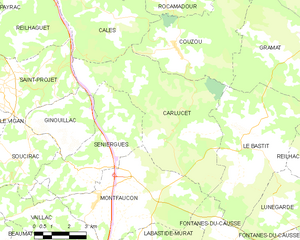
Calès (Calès)

- commune in Lot, France
- Country:

- Postal Code: 46350
- Coordinates: 44° 48' 45" N, 1° 32' 17" E


- GPS tracks (wikiloc): [Link]
- Area: 34.23 sq km
- Population: 164
- Web site: http://cales.fr
- Wikipedia en: wiki(en)
- Wikipedia: wiki(fr)
- Wikidata storage: Wikidata: Q1381485
- Wikipedia Commons Category: [Link]
- Freebase ID: [/m/03nwkh0]
- GeoNames ID: Alt: [6449215]
- SIREN number: [214600470]
- INSEE municipality code: 46047
Shares border with regions:


Pinsac
- commune in Lot, France
- Country:
- Postal Code: 46200
- Coordinates: 44° 51' 20" N, 1° 30' 51" E
- GPS tracks (wikiloc): [Link]
- Area: 19.69 sq km
- Population: 763
- Web site: [Link]


Reilhaguet
- commune in Lot, France
- Country:
- Postal Code: 46350
- Coordinates: 44° 46' 13" N, 1° 30' 16" E
- GPS tracks (wikiloc): [Link]
- Area: 15.96 sq km
- Population: 131

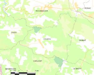
Couzou
- commune in Lot, France
- Country:
- Postal Code: 46500
- Coordinates: 44° 45' 57" N, 1° 36' 59" E
- GPS tracks (wikiloc): [Link]
- Area: 21.72 sq km
- Population: 97

Carlucet
- commune in Lot, France
- Country:
- Postal Code: 46500
- Coordinates: 44° 43' 17" N, 1° 36' 45" E
- GPS tracks (wikiloc): [Link]
- Area: 33.7 sq km
- Population: 223
- Web site: [Link]


Saint-Projet
- commune in Lot, France
- Country:
- Postal Code: 46300
- Coordinates: 44° 44' 41" N, 1° 29' 26" E
- GPS tracks (wikiloc): [Link]
- AboveSeaLevel: 351 м m
- Area: 15.83 sq km
- Population: 349


Rocamadour
- commune in Lot, France
- Country:
- Postal Code: 46500
- Coordinates: 44° 47' 58" N, 1° 37' 4" E
- GPS tracks (wikiloc): [Link]
- AboveSeaLevel: 279 м m
- Area: 49.42 sq km
- Population: 628
- Web site: [Link]


Payrac
- commune in Lot, France
- Country:
- Postal Code: 46350
- Coordinates: 44° 47' 47" N, 1° 28' 19" E
- GPS tracks (wikiloc): [Link]
- Area: 19.5 sq km
- Population: 631


Lacave
- commune in Lot, France
- Country:
- Postal Code: 46200
- Coordinates: 44° 50' 40" N, 1° 33' 29" E
- GPS tracks (wikiloc): [Link]
- Area: 21.19 sq km
- Population: 272


Loupiac
- commune in Lot, France
- Country:
- Postal Code: 46350
- Coordinates: 44° 49' 4" N, 1° 27' 39" E
- GPS tracks (wikiloc): [Link]
- AboveSeaLevel: 250 м m
- Area: 12.65 sq km
- Population: 259