Campugnan (Campugnan)

- commune in Gironde, France
- Country:

- Postal Code: 33390
- Coordinates: 45° 10' 39" N, 0° 33' 50" E


- GPS tracks (wikiloc): [Link]
- Area: 6.23 sq km
- Population: 499
- Wikipedia en: wiki(en)
- Wikipedia: wiki(fr)
- Wikidata storage: Wikidata: Q717279
- Wikipedia Commons Category: [Link]
- Freebase ID: [/m/03nrxvq]
- SIREN number: [213300890]
- BnF ID: [15256142w]
- INSEE municipality code: 33089
Shares border with regions:


Saugon
- commune in Gironde, France
- Country:
- Postal Code: 33920
- Coordinates: 45° 10' 41" N, 0° 30' 12" E
- GPS tracks (wikiloc): [Link]
- Area: 15.5 sq km
- Population: 461
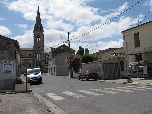
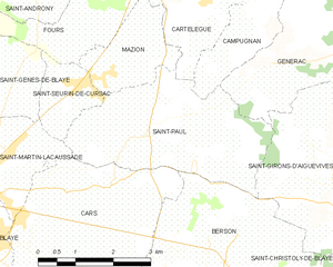
Saint-Paul
- commune in Gironde, France
- Country:
- Postal Code: 33390
- Coordinates: 45° 8' 53" N, 0° 36' 18" E
- GPS tracks (wikiloc): [Link]
- Area: 10.87 sq km
- Population: 926
- Web site: [Link]

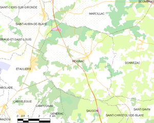
Reignac
- commune in Gironde, France
- Country:
- Postal Code: 33860
- Coordinates: 45° 14' 2" N, 0° 30' 26" E
- GPS tracks (wikiloc): [Link]
- Area: 37.43 sq km
- Population: 1525


Générac
- commune in Gironde, France
- Country:
- Postal Code: 33920
- Coordinates: 45° 10' 46" N, 0° 32' 48" E
- GPS tracks (wikiloc): [Link]
- Area: 9.44 sq km
- Population: 555


Cartelègue
- commune in Gironde, France
- Country:
- Postal Code: 33390
- Coordinates: 45° 11' 6" N, 0° 34' 49" E
- GPS tracks (wikiloc): [Link]
- Area: 11.45 sq km
- Population: 1275
- Web site: [Link]