canton of Blaye (canton de Blaye)
- canton of France
- Country:

- Capital: Blaye
- Coordinates: 45° 9' 6" N, 0° 37' 4" E


- GPS tracks (wikiloc): [Link]
- Wikidata storage: Wikidata: Q1724493
- INSEE canton code: [3307]
Includes regions:

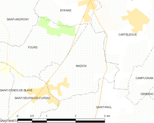
Mazion
- commune in Gironde, France
- Country:

- Postal Code: 33390
- Coordinates: 45° 9' 44" N, 0° 36' 52" E


- GPS tracks (wikiloc): [Link]
- Area: 3.71 sq km
- Population: 514


Saint-Androny
- commune in Gironde, France
- Country:

- Postal Code: 33390
- Coordinates: 45° 11' 23" N, 0° 38' 59" E


- GPS tracks (wikiloc): [Link]
- Area: 11.65 sq km
- Population: 553
- Web site: [Link]

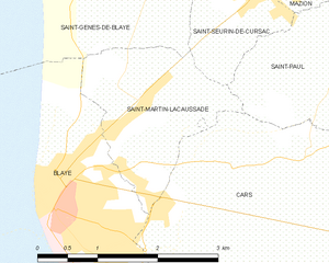
Saint-Martin-Lacaussade
- commune in Gironde, France
- Country:

- Postal Code: 33390
- Coordinates: 45° 8' 49" N, 0° 38' 33" E


- GPS tracks (wikiloc): [Link]
- Area: 3.94 sq km
- Population: 1061
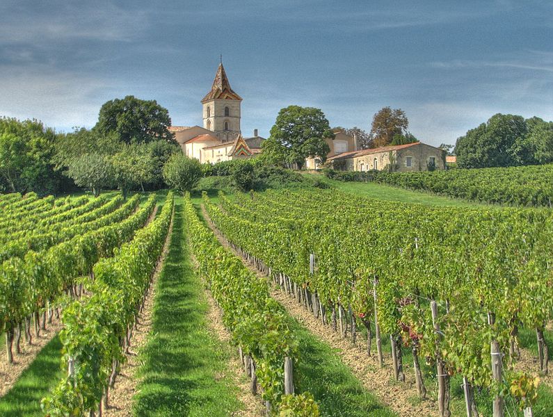

Cars
- commune in Gironde, France
- Country:

- Postal Code: 33390
- Coordinates: 45° 7' 45" N, 0° 37' 13" E


- GPS tracks (wikiloc): [Link]
- Area: 11.1 sq km
- Population: 1165
- Web site: [Link]

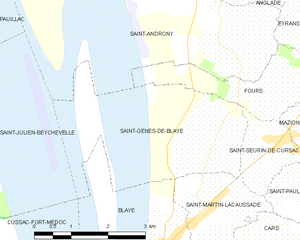
Saint-Genès-de-Blaye
- commune in Gironde, France
- Country:

- Postal Code: 33390
- Coordinates: 45° 9' 43" N, 0° 38' 29" E


- GPS tracks (wikiloc): [Link]
- Area: 7.41 sq km
- Population: 484


Saint-Seurin-de-Cursac
- commune in Gironde, France
- Country:

- Postal Code: 33390
- Coordinates: 45° 9' 38" N, 0° 37' 39" E


- GPS tracks (wikiloc): [Link]
- Area: 2.36 sq km
- Population: 749
- Web site: [Link]

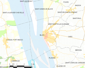
Blaye
- commune in Gironde, France
- Country:

- Postal Code: 33390
- Coordinates: 45° 8' 0" N, 0° 40' 0" E


- GPS tracks (wikiloc): [Link]
- AboveSeaLevel: 7 м m
- Area: 6.42 sq km
- Population: 4813
- Web site: [Link]

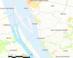
Plassac
- commune in Gironde, France
- Country:

- Postal Code: 33390
- Coordinates: 45° 6' 13" N, 0° 38' 49" E


- GPS tracks (wikiloc): [Link]
- Area: 7.12 sq km
- Population: 865
- Web site: [Link]
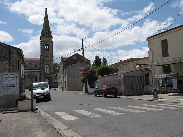
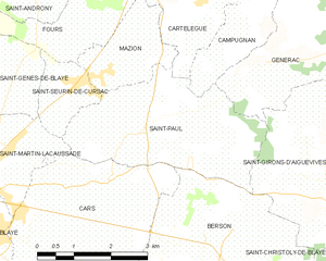
Saint-Paul
- commune in Gironde, France
- Country:

- Postal Code: 33390
- Coordinates: 45° 8' 53" N, 0° 36' 18" E


- GPS tracks (wikiloc): [Link]
- Area: 10.87 sq km
- Population: 926
- Web site: [Link]


Berson
- commune in Gironde, France
- Country:

- Postal Code: 33390
- Coordinates: 45° 6' 29" N, 0° 35' 12" E


- GPS tracks (wikiloc): [Link]
- Area: 17.98 sq km
- Population: 1786
- Web site: [Link]
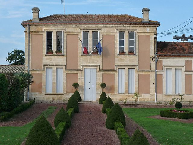

Campugnan
- commune in Gironde, France
- Country:

- Postal Code: 33390
- Coordinates: 45° 10' 39" N, 0° 33' 50" E


- GPS tracks (wikiloc): [Link]
- Area: 6.23 sq km
- Population: 499


Cartelègue
- commune in Gironde, France
- Country:

- Postal Code: 33390
- Coordinates: 45° 11' 6" N, 0° 34' 49" E


- GPS tracks (wikiloc): [Link]
- Area: 11.45 sq km
- Population: 1275
- Web site: [Link]

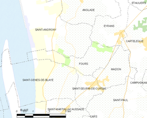
Fours
- commune in Gironde, France
- Country:

- Postal Code: 33390
- Coordinates: 45° 10' 25" N, 0° 37' 45" E


- GPS tracks (wikiloc): [Link]
- Area: 4.64 sq km
- Population: 315