canton of Éguzon-Chantôme (canton d'Éguzon-Chantôme)
- canton of France (until March 2015)
- Country:

- Capital: Éguzon-Chantôme
- Coordinates: 46° 26' 35" N, 1° 35' 1" E


- GPS tracks (wikiloc): [Link]
- Wikidata storage: Wikidata: Q768893
- Wikipedia Commons Category: [Link]
- INSEE canton code: [3611]
Includes regions:

Bazaiges
- commune in Indre, France
- Country:
- Postal Code: 36270
- Coordinates: 46° 29' 56" N, 1° 32' 0" E
- GPS tracks (wikiloc): [Link]
- Area: 18.37 sq km
- Population: 215

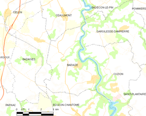
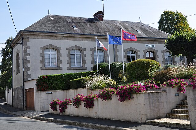
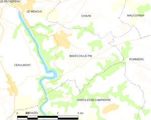
Baraize
- commune in Indre, France
- Country:
- Postal Code: 36270
- Coordinates: 46° 29' 19" N, 1° 33' 42" E
- GPS tracks (wikiloc): [Link]
- Area: 16.39 sq km
- Population: 339


Pommiers
- commune in Indre, France
- Country:
- Postal Code: 36190
- Coordinates: 46° 31' 23" N, 1° 39' 23" E
- GPS tracks (wikiloc): [Link]
- Area: 12.19 sq km
- Population: 261


Éguzon-Chantôme
- commune in Indre, France
- Country:
- Postal Code: 36270
- Coordinates: 46° 26' 32" N, 1° 34' 57" E
- GPS tracks (wikiloc): [Link]
- Area: 36.44 sq km
- Population: 1375


Gargilesse-Dampierre
- commune in Indre, France
- Country:
- Postal Code: 36190
- Coordinates: 46° 30' 49" N, 1° 35' 49" E
- GPS tracks (wikiloc): [Link]
- Area: 15.72 sq km
- Population: 299
- Web site: [Link]


Cuzion
- commune in Indre, France
- Country:
- Postal Code: 36190
- Coordinates: 46° 28' 45" N, 1° 36' 23" E
- GPS tracks (wikiloc): [Link]
- Area: 18.45 sq km
- Population: 442

Badecon-le-Pin
- commune in Indre, France
- Country:
- Postal Code: 36200
- Coordinates: 46° 32' 26" N, 1° 35' 31" E
- GPS tracks (wikiloc): [Link]
- Area: 9.88 sq km
- Population: 739
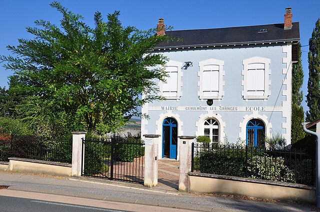

Ceaulmont
- commune in Indre, France
- Country:
- Postal Code: 36200
- Coordinates: 46° 31' 53" N, 1° 33' 9" E
- GPS tracks (wikiloc): [Link]
- Area: 17.38 sq km
- Population: 734
- Web site: [Link]