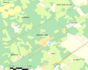
canton of Audenge (canton d'Audenge)
- canton of France
- Country:

- Capital: Audenge
- Coordinates: 44° 41' 5" N, 1° 0' 43" E


- GPS tracks (wikiloc): [Link]
- Wikidata storage: Wikidata: Q1724279
- INSEE canton code: [3302]
Includes regions:
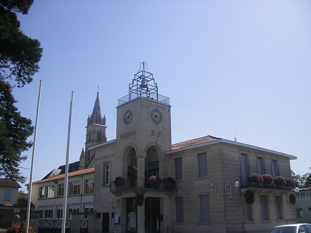
Marcheprime
- commune in Gironde, France
- Country:
- Postal Code: 33380
- Coordinates: 44° 41' 32" N, 0° 51' 18" E
- GPS tracks (wikiloc): [Link]
- Area: 24.56 sq km
- Population: 4577
- Web site: [Link]


Lège-Cap-Ferret
- commune in Gironde, France
- Country:
- Postal Code: 33950
- Coordinates: 44° 47' 35" N, 1° 8' 47" E
- GPS tracks (wikiloc): [Link]
- AboveSeaLevel: 11 м m
- Area: 93.62 sq km
- Population: 8196
- Web site: [Link]

Andernos-les-Bains
- commune in Gironde, France
- Country:
- Postal Code: 33510
- Coordinates: 44° 44' 33" N, 1° 5' 25" E
- GPS tracks (wikiloc): [Link]
- AboveSeaLevel: 4 м m
- Area: 20.01 sq km
- Population: 11687
- Web site: [Link]


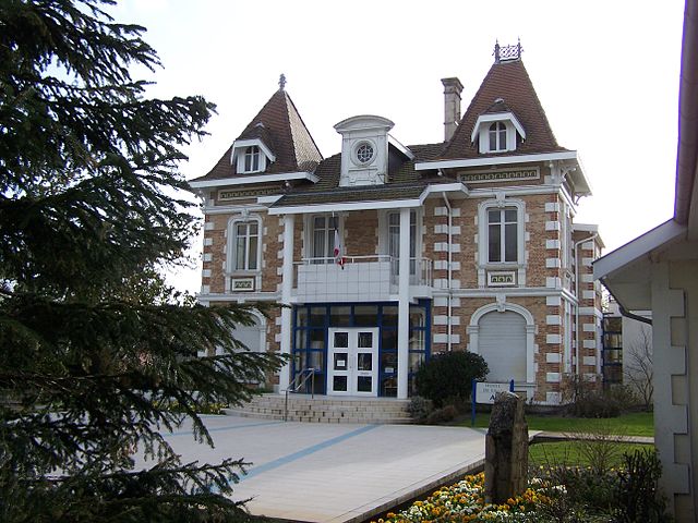
Audenge
- commune in Gironde, France
- Country:
- Postal Code: 33980
- Coordinates: 44° 41' 1" N, 1° 0' 48" E
- GPS tracks (wikiloc): [Link]
- Area: 82.09 sq km
- Population: 7410
- Web site: [Link]


Arès
- commune in Gironde, France
- Country:
- Postal Code: 33740
- Coordinates: 44° 45' 54" N, 1° 8' 12" E
- GPS tracks (wikiloc): [Link]
- Area: 48.25 sq km
- Population: 6126
- Web site: [Link]
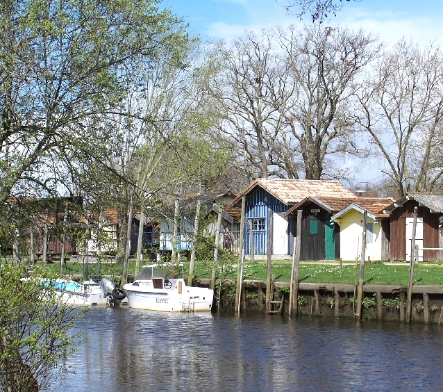

Biganos
- commune in Gironde, France
- Country:
- Postal Code: 33380
- Coordinates: 44° 38' 39" N, 0° 58' 42" E
- GPS tracks (wikiloc): [Link]
- Area: 77.28 sq km
- Population: 10258
- Web site: [Link]


Lanton
- commune in Gironde, France
- Country:
- Postal Code: 33138
- Coordinates: 44° 42' 14" N, 1° 2' 7" E
- GPS tracks (wikiloc): [Link]
- Area: 136.19 sq km
- Population: 6771


Mios
- commune in Gironde, France
- Country:
- Postal Code: 33380
- Coordinates: 44° 36' 18" N, 0° 56' 13" E
- GPS tracks (wikiloc): [Link]
- Area: 137.41 sq km
- Population: 9067
- Web site: [Link]