canton of Aurillac 4 (canton d'Aurillac 4)
- canton of France
- Country:

- Capital: Aurillac
- Coordinates: 44° 55' 34" N, 2° 26' 26" E


- GPS tracks (wikiloc): [Link]
- Wikidata storage: Wikidata: Q1724296
- INSEE canton code: [1525]
Includes regions:


Saint-Simon
- commune in Cantal, France
- Country:

- Postal Code: 15130
- Coordinates: 44° 57' 47" N, 2° 29' 24" E


- GPS tracks (wikiloc): [Link]
- Area: 27.27 sq km
- Population: 1166
- Web site: [Link]


Giou-de-Mamou
- commune in Cantal, France
- Country:

- Postal Code: 15130
- Coordinates: 44° 55' 55" N, 2° 30' 50" E


- GPS tracks (wikiloc): [Link]
- Area: 14.23 sq km
- Population: 770


Marmanhac
- commune in Cantal, France
- Country:

- Postal Code: 15250
- Coordinates: 45° 0' 13" N, 2° 28' 56" E


- GPS tracks (wikiloc): [Link]
- Area: 24.24 sq km
- Population: 712


Laroquevieille
- commune in Cantal, France
- Country:

- Postal Code: 15250
- Coordinates: 45° 1' 13" N, 2° 31' 45" E


- GPS tracks (wikiloc): [Link]
- AboveSeaLevel: 720 м m
- Area: 15.68 sq km
- Population: 345


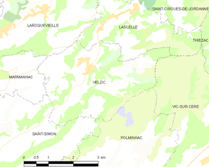
Velzic
- commune in Cantal, France
- Country:

- Postal Code: 15590
- Coordinates: 45° 0' 3" N, 2° 33' 10" E


- GPS tracks (wikiloc): [Link]
- Area: 11.26 sq km
- Population: 422


Lascelle
- commune in Cantal, France
- Country:

- Postal Code: 15590
- Coordinates: 45° 1' 22" N, 2° 34' 32" E


- GPS tracks (wikiloc): [Link]
- Area: 19.1 sq km
- Population: 300


Mandailles-Saint-Julien
- commune in Cantal, France
- Country:

- Postal Code: 15590
- Coordinates: 45° 4' 7" N, 2° 39' 23" E


- GPS tracks (wikiloc): [Link]
- AboveSeaLevel: 940 м m
- Area: 35.37 sq km
- Population: 191


Saint-Cirgues-de-Jordanne
- commune in Cantal, France
- Country:

- Postal Code: 15590
- Coordinates: 45° 1' 42" N, 2° 34' 56" E


- GPS tracks (wikiloc): [Link]
- Area: 16.24 sq km
- Population: 127


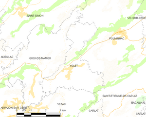
Yolet
- commune in Cantal, France
- Country:

- Postal Code: 15130
- Coordinates: 44° 55' 44" N, 2° 31' 56" E


- GPS tracks (wikiloc): [Link]
- Area: 9.82 sq km
- Population: 558