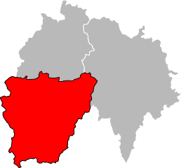
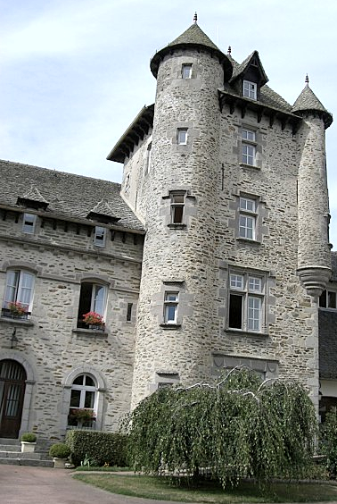
arrondissement of Aurillac (arrondissement d'Aurillac)
- arrondissement of France
- Country:

- Capital: Aurillac
- Coordinates: 44° 50' 0" N, 2° 20' 0" E


- GPS tracks (wikiloc): [Link]
- Area: 1937 sq km
- Population: 82228
- Wikipedia en: wiki(en)
- Wikipedia: wiki(fr)
- Wikidata storage: Wikidata: Q700521
- Wikipedia Commons Category: [Link]
- Freebase ID: [/m/095j54]
- GeoNames ID: Alt: [3036015]
- INSEE arrondissement code: [151]
- GNS Unique Feature ID: -1409296
Includes regions:


canton of Arpajon-sur-Cère
- canton of France
- Country:

- Capital: Arpajon-sur-Cère
- Coordinates: 44° 54' 17" N, 2° 27' 27" E


- GPS tracks (wikiloc): [Link]
- Population: 11690


canton of Aurillac-1
- canton of France
- Country:

- Capital: Aurillac
- Coordinates: 44° 55' 34" N, 2° 26' 26" E


- GPS tracks (wikiloc): [Link]
- Population: 10212


canton of Aurillac-3
- canton of France
- Country:

- Capital: Aurillac
- Coordinates: 44° 55' 34" N, 2° 26' 26" E


- GPS tracks (wikiloc): [Link]
- Population: 10320


canton of Vic-sur-Cère
- canton of France
- Country:

- Capital: Vic-sur-Cère
- Coordinates: 44° 58' 50" N, 2° 37' 33" E


- GPS tracks (wikiloc): [Link]
- Population: 10976

canton of Saint-Mamet-la-Salvetat
- canton of France (until March 2015)
- Country:

- Capital: Saint-Mamet-la-Salvetat
- Coordinates: 44° 51' 32" N, 2° 18' 28" E


- GPS tracks (wikiloc): [Link]

canton of Saint-Cernin
- canton of France (until March 2015)
- Country:

- Capital: Saint-Cernin
- Coordinates: 45° 3' 34" N, 2° 25' 17" E


- GPS tracks (wikiloc): [Link]


canton of Aurillac-2
- canton of France
- Country:

- Capital: Aurillac
- Coordinates: 44° 55' 34" N, 2° 26' 26" E


- GPS tracks (wikiloc): [Link]
- Population: 9527


Aurillac
- commune in Cantal, France
- Country:

- Postal Code: 15000
- Coordinates: 44° 55' 31" N, 2° 26' 23" E


- GPS tracks (wikiloc): [Link]
- AboveSeaLevel: 622 м m
- Area: 28.76 sq km
- Population: 25875
- Web site: [Link]


canton of Maurs
- canton of France
- Country:

- Capital: Maurs
- Coordinates: 44° 42' 41" N, 2° 11' 56" E


- GPS tracks (wikiloc): [Link]
- Population: 10956

canton of Laroquebrou
- canton of France (until March 2015)
- Country:

- Capital: Laroquebrou
- Coordinates: 44° 58' 10" N, 2° 11' 33" E


- GPS tracks (wikiloc): [Link]
- Population: 4136


