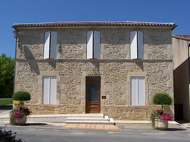
canton of Auros (canton d'Auros)
- canton of France
- Country:

- Capital: Auros
- Coordinates: 44° 29' 47" N, 0° 8' 59" E


- GPS tracks (wikiloc): [Link]
- Wikidata storage: Wikidata: Q1724300
- Library of Congress authority ID: Alt: [no2016153445]
- INSEE canton code: [3303]
Includes regions:

Bassanne
- commune in Gironde, France
- Country:
- Postal Code: 33190
- Coordinates: 44° 33' 34" N, 0° 5' 24" E
- GPS tracks (wikiloc): [Link]
- Area: 2.54 sq km
- Population: 111
- Web site: [Link]


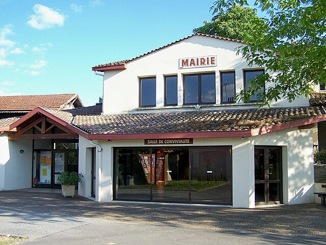
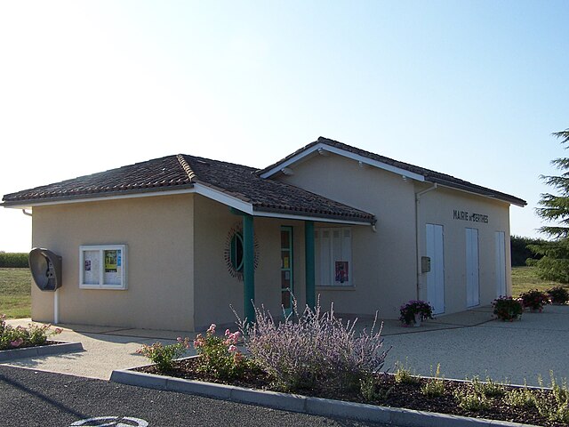
Auros
- commune in Gironde, France
- Country:
- Postal Code: 33124
- Coordinates: 44° 29' 44" N, 0° 8' 44" E
- GPS tracks (wikiloc): [Link]
- Area: 15.32 sq km
- Population: 1011
- Web site: [Link]


Sigalens
- commune in Gironde, France
- Country:
- Postal Code: 33690
- Coordinates: 44° 26' 57" N, 0° 2' 43" E
- GPS tracks (wikiloc): [Link]
- Area: 18.33 sq km
- Population: 379
- Web site: [Link]
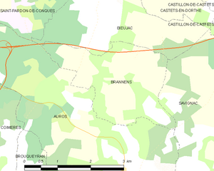
Brannens
- commune in Gironde, France
- Country:
- Postal Code: 33124
- Coordinates: 44° 31' 15" N, 0° 9' 10" E
- GPS tracks (wikiloc): [Link]
- Area: 6.04 sq km
- Population: 234


Brouqueyran
- commune in Gironde, France
- Country:
- Postal Code: 33124
- Coordinates: 44° 29' 2" N, 0° 10' 30" E
- GPS tracks (wikiloc): [Link]
- Area: 5.66 sq km
- Population: 198
- Web site: [Link]

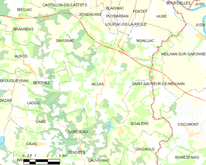
Aillas
- commune in Gironde, France
- Country:
- Postal Code: 33124
- Coordinates: 44° 28' 27" N, 0° 4' 27" E
- GPS tracks (wikiloc): [Link]
- Area: 35.13 sq km
- Population: 811

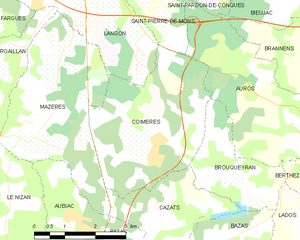
Coimères
- commune in Gironde, France
- Country:
- Postal Code: 33210
- Coordinates: 44° 29' 46" N, 0° 12' 35" E
- GPS tracks (wikiloc): [Link]
- Area: 12.91 sq km
- Population: 1014
- Web site: [Link]


Barie
- commune in Gironde, France
- Country:
- Postal Code: 33190
- Coordinates: 44° 34' 12" N, 0° 6' 53" E
- GPS tracks (wikiloc): [Link]
- Area: 5.33 sq km
- Population: 296
- Web site: [Link]


Lados
- commune in Gironde, France
- Country:
- Postal Code: 33124
- Coordinates: 44° 28' 3" N, 0° 8' 51" E
- GPS tracks (wikiloc): [Link]
- Area: 6.49 sq km
- Population: 173
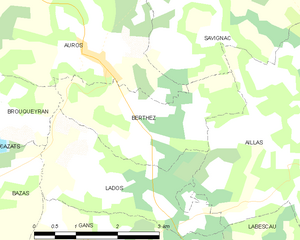
Berthez
- commune in Gironde, France
- Country:
- Postal Code: 33124
- Coordinates: 44° 29' 6" N, 0° 8' 7" E
- GPS tracks (wikiloc): [Link]
- Area: 6.03 sq km
- Population: 270


Castillon-de-Castets
- former commune in Gironde, France
- Country:
- Postal Code: 33210
- Coordinates: 44° 32' 59" N, 0° 6' 55" E
- GPS tracks (wikiloc): [Link]
- Area: 4.47 sq km
- Population: 304


Savignac
- commune in Gironde, France
- Country:
- Postal Code: 33124
- Coordinates: 44° 31' 22" N, 0° 6' 32" E
- GPS tracks (wikiloc): [Link]
- Area: 17.02 sq km
- Population: 635
- Web site: [Link]


Puybarban
- commune in Gironde, France
- Country:
- Postal Code: 33190
- Coordinates: 44° 33' 10" N, 0° 4' 29" E
- GPS tracks (wikiloc): [Link]
- Area: 5.58 sq km
- Population: 415


Pondaurat
- commune in Gironde, France
- Country:
- Postal Code: 33190
- Coordinates: 44° 32' 13" N, 0° 5' 17" E
- GPS tracks (wikiloc): [Link]
- Area: 8.74 sq km
- Population: 480
- Web site: [Link]