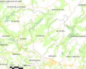
canton of Estaing (canton d'Estaing)
- canton of France
- Country:

- Capital: Estaing
- Coordinates: 44° 33' 22" N, 2° 40' 21" E


- GPS tracks (wikiloc): [Link]
- Wikidata storage: Wikidata: Q1725243
- Library of Congress authority ID: Alt: [n97032565]
- INSEE canton code: [1213]
Includes regions:


Coubisou
- commune in Aveyron, France
- Country:

- Postal Code: 12190
- Coordinates: 44° 33' 11" N, 2° 43' 54" E


- GPS tracks (wikiloc): [Link]
- Area: 30.95 sq km
- Population: 489


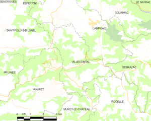
Villecomtal
- commune in Aveyron, France
- Country:

- Postal Code: 12580
- Coordinates: 44° 32' 19" N, 2° 33' 53" E


- GPS tracks (wikiloc): [Link]
- Area: 14.05 sq km
- Population: 394
- Web site: [Link]


Le Nayrac
- commune in Aveyron, France
- Country:

- Postal Code: 12190
- Coordinates: 44° 36' 47" N, 2° 39' 47" E


- GPS tracks (wikiloc): [Link]
- Area: 36.57 sq km
- Population: 522


Campuac
- commune in Aveyron, France
- Country:

- Postal Code: 12580
- Coordinates: 44° 34' 8" N, 2° 35' 25" E


- GPS tracks (wikiloc): [Link]
- Area: 19.19 sq km
- Population: 445
- Web site: [Link]


Estaing
- commune in Aveyron, France
- Country:

- Postal Code: 12190
- Coordinates: 44° 33' 19" N, 2° 40' 18" E


- GPS tracks (wikiloc): [Link]
- Area: 16.96 sq km
- Population: 511
- Web site: [Link]


Sébrazac
- commune in Aveyron, France
- Country:

- Postal Code: 12190
- Coordinates: 44° 31' 30" N, 2° 39' 26" E


- GPS tracks (wikiloc): [Link]
- Area: 25.04 sq km
- Population: 505
- Web site: [Link]