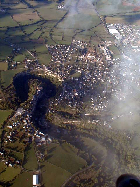
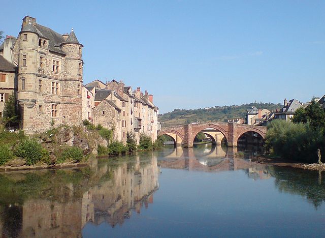
arrondissement of Rodez (arrondissement de Rodez)

- arrondissement of France
- Country:

- Capital: Rodez
- Coordinates: 44° 30' 0" N, 2° 35' 0" E


- GPS tracks (wikiloc): [Link]
- Area: 3974 sq km
- Population: 111281
- Wikipedia en: wiki(en)
- Wikipedia: wiki(fr)
- Wikidata storage: Wikidata: Q702245
- Freebase ID: [/m/095gnq]
- GeoNames ID: Alt: [2983153]
- INSEE arrondissement code: [122]
- GNS Unique Feature ID: -1462303
Includes regions:


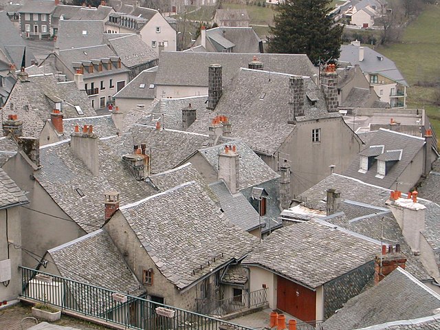
canton of Saint-Geniez-d'Olt
- canton of France (until March 2015)
- Country:
- Capital: Saint-Geniez-d'Olt
- Coordinates: 44° 27' 57" N, 2° 58' 28" E
- GPS tracks (wikiloc): [Link]


canton of Sainte-Geneviève-sur-Argence
- canton of France (until March 2015)
- Country:
- Capital: Sainte-Geneviève-sur-Argence
- Coordinates: 44° 48' 10" N, 2° 45' 33" E
- GPS tracks (wikiloc): [Link]

canton of Cassagnes-Bégonhès
- canton of France
- Country:
- Capital: Cassagnes-Bégonhès
- Coordinates: 44° 10' 11" N, 2° 31' 52" E
- GPS tracks (wikiloc): [Link]

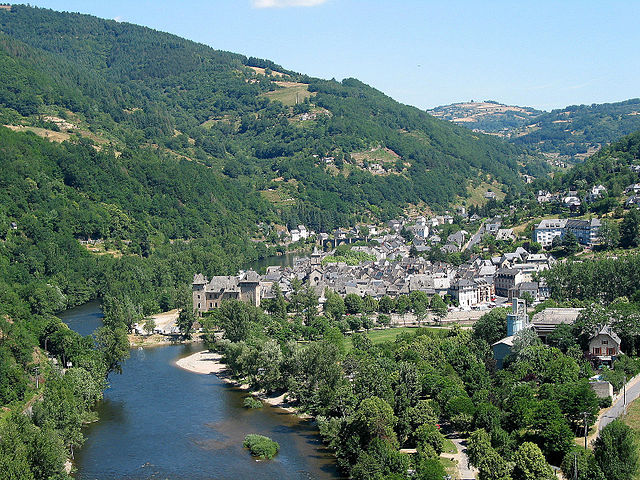
canton of Entraygues-sur-Truyère
- canton of France
- Country:
- Capital: Entraygues-sur-Truyère
- Coordinates: 44° 38' 50" N, 2° 34' 3" E
- GPS tracks (wikiloc): [Link]


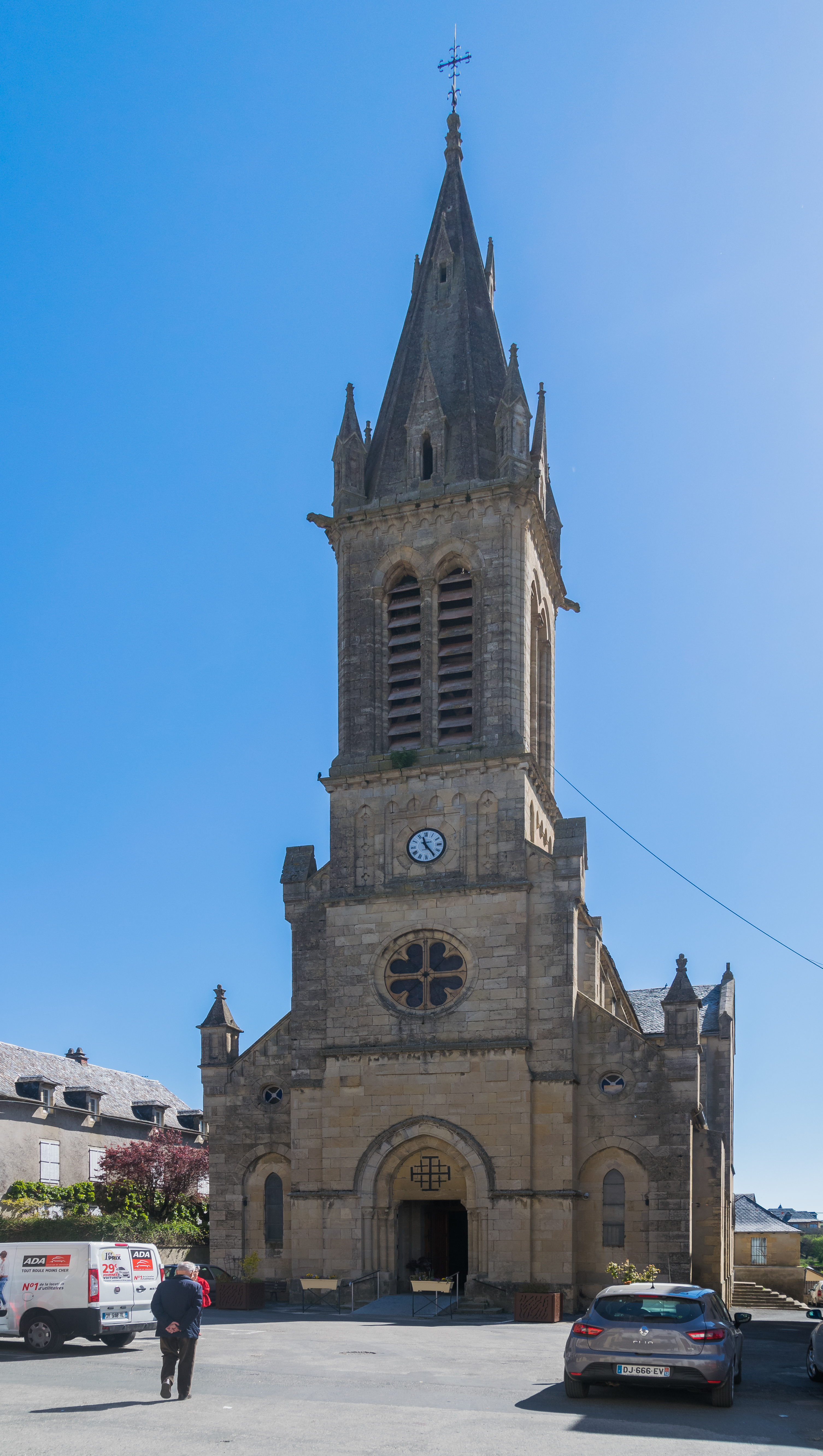
canton of Salvetat-Peyralès
- canton of France
- Country:
- Capital: La Salvetat-Peyralès
- Coordinates: 44° 13' 16" N, 2° 12' 13" E
- GPS tracks (wikiloc): [Link]

canton of Mur-de-Barrez
- canton of France
- Country:
- Capital: Mur-de-Barrez
- Coordinates: 44° 50' 35" N, 2° 39' 44" E
- GPS tracks (wikiloc): [Link]
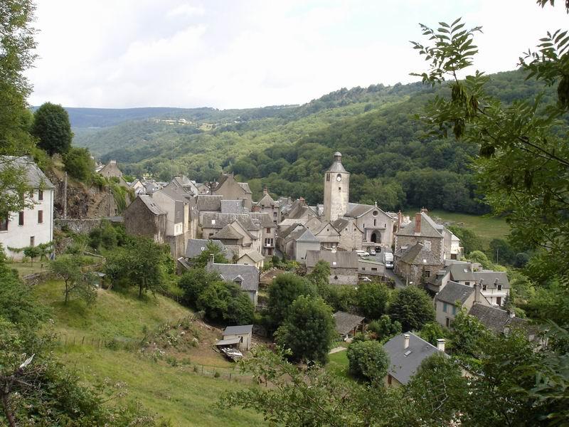
canton of Saint-Chély-d'Aubrac
- canton of France
- Country:
- Capital: Saint-Chély-d'Aubrac
- Coordinates: 44° 35' 29" N, 2° 55' 19" E
- GPS tracks (wikiloc): [Link]

canton of Saint-Amans-des-Cots
- canton of France (until March 2015)
- Country:
- Capital: Saint-Amans-des-Cots
- Coordinates: 44° 41' 0" N, 2° 40' 0" E
- GPS tracks (wikiloc): [Link]

canton of Pont-de-Salars
- canton of France (until March 2015)
- Country:
- Capital: Pont-de-Salars
- Coordinates: 44° 16' 55" N, 2° 43' 42" E
- GPS tracks (wikiloc): [Link]


canton of Marcillac-Vallon
- canton of France (until March 2015)
- Country:
- Capital: Marcillac-Vallon
- Coordinates: 44° 28' 29" N, 2° 27' 55" E
- GPS tracks (wikiloc): [Link]

canton of Baraqueville-Sauveterre
- canton of France (until March 2015)
- Country:
- Capital: Baraqueville
- Coordinates: 44° 16' 40" N, 2° 26' 1" E
- GPS tracks (wikiloc): [Link]