canton of Bessines-sur-Gartempe (canton de Bessines-sur-Gartempe)
- canton of France
- Country:

- Capital: Bessines-sur-Gartempe
- Coordinates: 46° 5' 44" N, 1° 22' 12" E


- GPS tracks (wikiloc): [Link]
- Wikidata storage: Wikidata: Q1724466
- INSEE canton code: [8704]
Includes regions:


Razès
- commune in Haute-Vienne, France
- Country:
- Postal Code: 87640
- Coordinates: 46° 2' 12" N, 1° 20' 42" E
- GPS tracks (wikiloc): [Link]
- Area: 24.14 sq km
- Population: 1195


Saint-Pardoux
- commune in Haute-Vienne, France
- Country:
- Postal Code: 87250
- Coordinates: 46° 3' 29" N, 1° 16' 53" E
- GPS tracks (wikiloc): [Link]
- Area: 23.23 sq km
- Population: 606

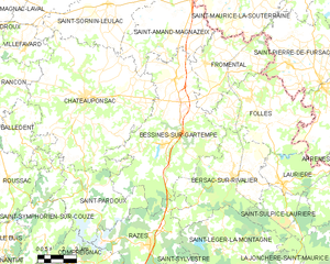
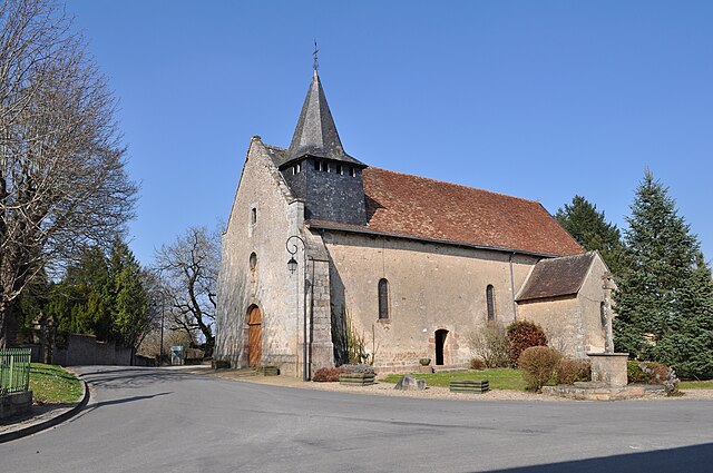
Bessines-sur-Gartempe
- commune in Haute-Vienne, France
- Country:
- Postal Code: 87250
- Coordinates: 46° 6' 32" N, 1° 22' 6" E
- GPS tracks (wikiloc): [Link]
- Area: 55.41 sq km
- Population: 2830

Fromental
- commune in Haute-Vienne, France
- Country:
- Postal Code: 87250
- Coordinates: 46° 9' 33" N, 1° 23' 47" E
- GPS tracks (wikiloc): [Link]
- Area: 22.65 sq km
- Population: 547


Folles
- commune in Haute-Vienne, France
- Country:
- Postal Code: 87250
- Coordinates: 46° 6' 52" N, 1° 27' 39" E
- GPS tracks (wikiloc): [Link]
- Area: 31.18 sq km
- Population: 509