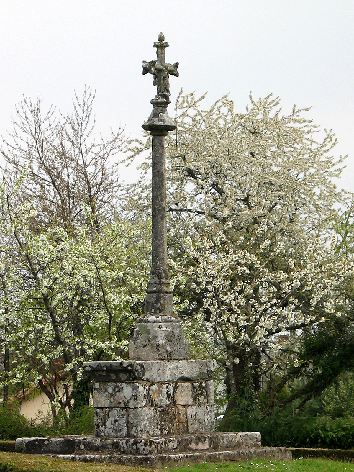
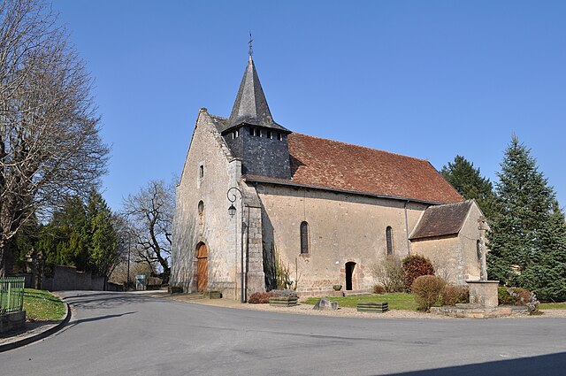
Folles (Folles)

- commune in Haute-Vienne, France
- Country:

- Postal Code: 87250
- Coordinates: 46° 6' 52" N, 1° 27' 39" E


- GPS tracks (wikiloc): [Link]
- Area: 31.18 sq km
- Population: 509
- Wikipedia en: wiki(en)
- Wikipedia: wiki(fr)
- Wikidata storage: Wikidata: Q517391
- Wikipedia Commons Category: [Link]
- Freebase ID: [/m/03nv106]
- GeoNames ID: Alt: [3018152]
- SIREN number: [218706703]
- BnF ID: [152787909]
- AAT ID: [300037268]
- INSEE municipality code: 87067
Shares border with regions:

Laurière
- commune in Haute-Vienne, France
- Country:
- Postal Code: 87370
- Coordinates: 46° 4' 35" N, 1° 28' 31" E
- GPS tracks (wikiloc): [Link]
- Area: 20.77 sq km
- Population: 577


Saint-Pierre-de-Fursac
- former commune in Creuse, France
- Country:
- Postal Code: 23290
- Coordinates: 46° 8' 53" N, 1° 30' 45" E
- GPS tracks (wikiloc): [Link]
- Area: 27.33 sq km
- Population: 753

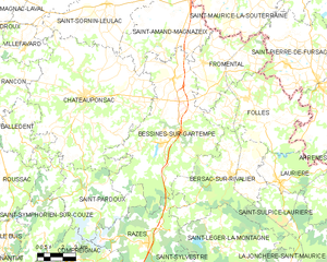
Bessines-sur-Gartempe
- commune in Haute-Vienne, France
- Country:
- Postal Code: 87250
- Coordinates: 46° 6' 32" N, 1° 22' 6" E
- GPS tracks (wikiloc): [Link]
- Area: 55.41 sq km
- Population: 2830

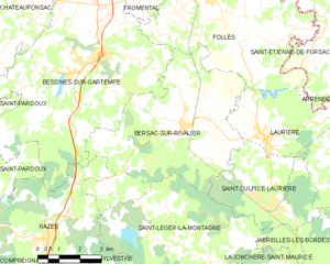
Bersac-sur-Rivalier
- commune in Haute-Vienne, France
- Country:
- Postal Code: 87370
- Coordinates: 46° 4' 50" N, 1° 25' 36" E
- GPS tracks (wikiloc): [Link]
- Area: 32.54 sq km
- Population: 606

Saint-Étienne-de-Fursac
- former commune in Creuse, France
- Country:
- Postal Code: 23290
- Coordinates: 46° 8' 39" N, 1° 30' 51" E
- GPS tracks (wikiloc): [Link]
- Area: 31.7 sq km
- Population: 781

Fromental
- commune in Haute-Vienne, France
- Country:
- Postal Code: 87250
- Coordinates: 46° 9' 33" N, 1° 23' 47" E
- GPS tracks (wikiloc): [Link]
- Area: 22.65 sq km
- Population: 547