canton of Bretenoux (canton de Bretenoux)
- canton of France
- Country:

- Capital: Bretenoux
- Coordinates: 44° 55' 7" N, 1° 51' 34" E


- GPS tracks (wikiloc): [Link]
- Wikidata storage: Wikidata: Q1724599
- INSEE canton code: [4601]
Includes regions:


Bretenoux
- commune in Lot, France
- Country:
- Postal Code: 46130
- Coordinates: 44° 54' 52" N, 1° 50' 18" E
- GPS tracks (wikiloc): [Link]
- Area: 5.69 sq km
- Population: 1386
Estal
- commune in Lot, France
- Country:
- Postal Code: 46130
- Coordinates: 44° 55' 6" N, 1° 55' 14" E
- GPS tracks (wikiloc): [Link]
- Area: 6.04 sq km
- Population: 110

Puybrun
- commune in Lot, France
- Country:
- Postal Code: 46130
- Coordinates: 44° 55' 7" N, 1° 47' 13" E
- GPS tracks (wikiloc): [Link]
- Area: 4.36 sq km
- Population: 957


Gintrac
- commune in Lot, France
- Country:
- Postal Code: 46130
- Coordinates: 44° 53' 42" N, 1° 45' 46" E
- GPS tracks (wikiloc): [Link]
- Area: 6.79 sq km
- Population: 108


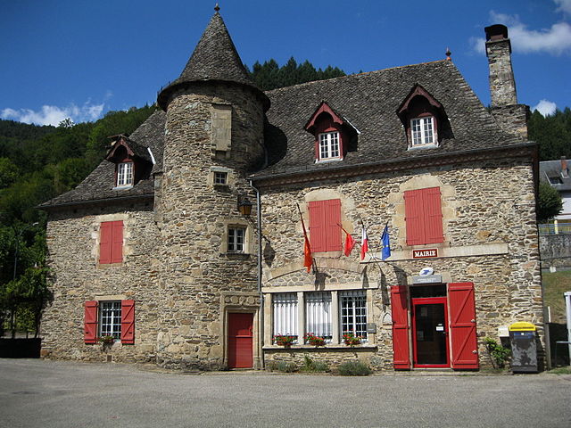
Prudhomat
- commune in Lot, France
- Country:
- Postal Code: 46130
- Coordinates: 44° 53' 56" N, 1° 48' 46" E
- GPS tracks (wikiloc): [Link]
- Area: 12.39 sq km
- Population: 723
- Web site: [Link]
Glanes
- commune in Lot, France
- Country:
- Postal Code: 46130
- Coordinates: 44° 55' 17" N, 1° 52' 46" E
- GPS tracks (wikiloc): [Link]
- Area: 2.72 sq km
- Population: 304
- Web site: [Link]

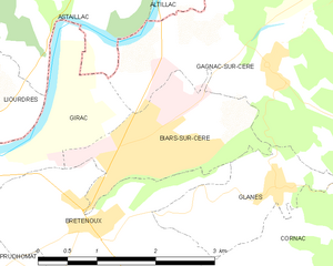
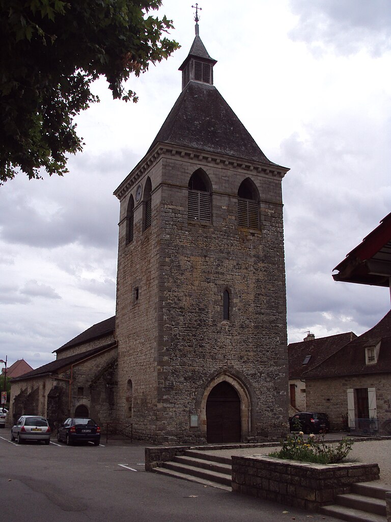
Biars-sur-Cère
- commune in Lot, France
- Country:
- Postal Code: 46130
- Coordinates: 44° 55' 41" N, 1° 50' 50" E
- GPS tracks (wikiloc): [Link]
- Area: 3.63 sq km
- Population: 2082
- Web site: [Link]
Belmont-Bretenoux
- commune in Lot, France
- Country:
- Postal Code: 46130
- Coordinates: 44° 53' 24" N, 1° 52' 47" E
- GPS tracks (wikiloc): [Link]
- Area: 6.65 sq km
- Population: 389
Saint-Michel-Loubéjou
- commune in Lot, France
- Country:
- Postal Code: 46130
- Coordinates: 44° 53' 42" N, 1° 51' 1" E
- GPS tracks (wikiloc): [Link]
- Area: 5.25 sq km
- Population: 397


Tauriac
- commune in Lot, France
- Country:
- Postal Code: 46130
- Coordinates: 44° 54' 23" N, 1° 46' 33" E
- GPS tracks (wikiloc): [Link]
- AboveSeaLevel: 124 м m
- Area: 8.23 sq km
- Population: 407
- Web site: [Link]
Cornac
- commune in Lot, France
- Country:
- Postal Code: 46130
- Coordinates: 44° 54' 33" N, 1° 52' 51" E
- GPS tracks (wikiloc): [Link]
- Area: 13.76 sq km
- Population: 356
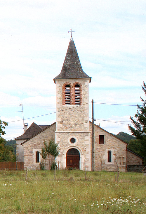

Girac
- commune in Lot, France
- Country:
- Postal Code: 46130
- Coordinates: 44° 55' 19" N, 1° 49' 7" E
- GPS tracks (wikiloc): [Link]
- Area: 4.4 sq km
- Population: 377
Cahus
- commune in Lot, France
- Country:
- Postal Code: 46130
- Coordinates: 44° 57' 24" N, 1° 55' 9" E
- GPS tracks (wikiloc): [Link]
- Area: 10.01 sq km
- Population: 204
- Web site: [Link]

Laval-de-Cère
- commune in Lot, France
- Country:
- Postal Code: 46130
- Coordinates: 44° 57' 9" N, 1° 56' 3" E
- GPS tracks (wikiloc): [Link]
- Area: 7.98 sq km
- Population: 323
Teyssieu
- commune in Lot, France
- Country:
- Postal Code: 46190
- Coordinates: 44° 55' 6" N, 1° 57' 18" E
- GPS tracks (wikiloc): [Link]
- Area: 13.63 sq km
- Population: 179


Gagnac-sur-Cère
- commune in Lot, France
- Country:
- Postal Code: 46130
- Coordinates: 44° 56' 20" N, 1° 52' 38" E
- GPS tracks (wikiloc): [Link]
- AboveSeaLevel: 140 м m
- Area: 12.83 sq km
- Population: 679
- Web site: [Link]