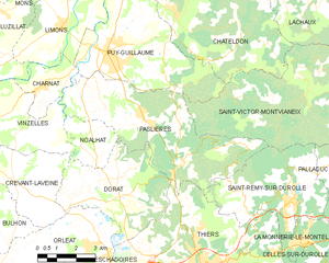
canton of Châteldon (canton de Châteldon)
- canton of France (until March 2015)
- Country:

- Capital: Châteldon
- Coordinates: 45° 57' 44" N, 3° 30' 27" E


- GPS tracks (wikiloc): [Link]
- Wikidata storage: Wikidata: Q276482
- INSEE canton code: [6309]
Includes regions:


Paslières
- commune in Puy-de-Dôme, France
- Country:

- Postal Code: 63290
- Coordinates: 45° 55' 44" N, 3° 29' 51" E


- GPS tracks (wikiloc): [Link]
- Area: 27.77 sq km
- Population: 1536


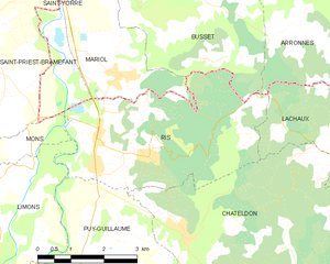
Ris
- commune in Puy-de-Dôme, France
- Country:

- Postal Code: 63290
- Coordinates: 45° 59' 56" N, 3° 30' 22" E


- GPS tracks (wikiloc): [Link]
- Area: 15.76 sq km
- Population: 791
- Web site: [Link]


Lachaux
- commune in Puy-de-Dôme, France
- Country:

- Postal Code: 63290
- Coordinates: 45° 59' 38" N, 3° 35' 34" E


- GPS tracks (wikiloc): [Link]
- AboveSeaLevel: 600 м m
- Area: 22.27 sq km
- Population: 282
- Web site: [Link]


Châteldon
- commune in Puy-de-Dôme, France
- Country:

- Postal Code: 63290
- Coordinates: 45° 58' 36" N, 3° 31' 13" E


- GPS tracks (wikiloc): [Link]
- AboveSeaLevel: 300 м m
- Area: 28.43 sq km
- Population: 778
- Web site: [Link]
Noalhat
- commune in Puy-de-Dôme, France
- Country:

- Postal Code: 63290
- Coordinates: 45° 54' 55" N, 3° 27' 22" E


- GPS tracks (wikiloc): [Link]
- Area: 5.13 sq km
- Population: 247


Puy-Guillaume
- commune in Puy-de-Dôme, France
- Country:

- Postal Code: 63290
- Coordinates: 45° 57' 37" N, 3° 28' 27" E


- GPS tracks (wikiloc): [Link]
- Area: 25.02 sq km
- Population: 2704
- Web site: [Link]