arrondissement of Thiers (arrondissement de Thiers)

- arrondissement of France
- Country:

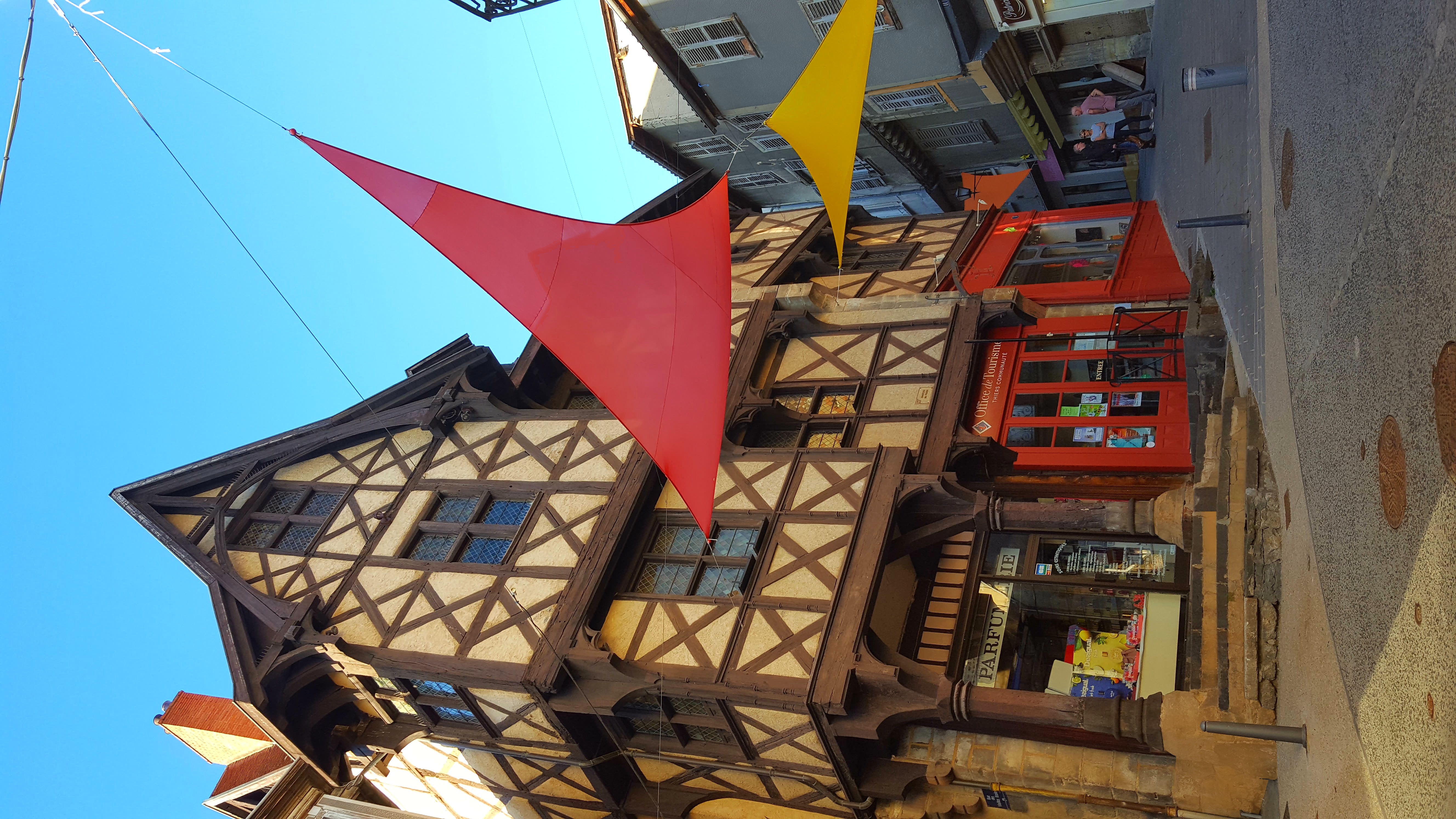
- Capital: Thiers
- Coordinates: 45° 50' 0" N, 3° 30' 0" E


- GPS tracks (wikiloc): [Link]
- Area: 866 sq km
- Population: 56445
- Wikipedia en: wiki(en)
- Wikipedia: wiki(fr)
- Wikidata storage: Wikidata: Q702591
- Wikipedia Commons Category: [Link]
- Freebase ID: [/m/095k0s]
- GeoNames ID: Alt: [2972855]
- INSEE arrondissement code: [635]
- GNS Unique Feature ID: -1472626
Includes regions:

canton of Thiers
- canton of France
- Country:
- Capital: Thiers
- Coordinates: 45° 51' 0" N, 3° 32' 24" E
- GPS tracks (wikiloc): [Link]
- Population: 22852


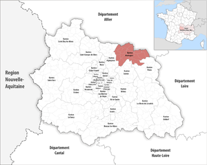
canton of Maringues
- canton of France
- Country:
- Capital: Maringues
- Coordinates: 45° 55' 30" N, 3° 21' 58" E
- GPS tracks (wikiloc): [Link]
- Population: 17924


canton of Lezoux
- canton of France
- Country:
- Capital: Lezoux
- Coordinates: 45° 51' 32" N, 3° 24' 18" E
- GPS tracks (wikiloc): [Link]
- Population: 18738


canton of Saint-Rémy-sur-Durolle
- canton of France (until March 2015)
- Country:
- Capital: Saint-Rémy-sur-Durolle
- Coordinates: 45° 52' 54" N, 3° 38' 39" E
- GPS tracks (wikiloc): [Link]