canton of Dinan-Ouest (canton de Dinan-Ouest)
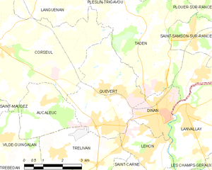
.png)
- canton of France (until March 2015)
- Country:

- Capital: Dinan
- Coordinates: 48° 27' 23" N, 2° 2' 56" E


- GPS tracks (wikiloc): [Link]
- Wikidata storage: Wikidata: Q783893
- INSEE canton code: [2212]
Includes regions:


Saint-Samson-sur-Rance
- commune in Côtes-d'Armor, France
- Country:
- Postal Code: 22100
- Coordinates: 48° 29' 29" N, 2° 1' 51" E
- GPS tracks (wikiloc): [Link]
- Area: 6.27 sq km
- Population: 1567
- Web site: [Link]

Trélivan
- commune in Côtes-d'Armor, France
- Country:
- Postal Code: 22100
- Coordinates: 48° 25' 59" N, 2° 7' 3" E
- GPS tracks (wikiloc): [Link]
- Area: 11.1 sq km
- Population: 2693
- Web site: [Link]
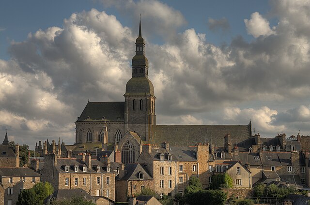

Dinan
- commune in Côtes-d'Armor, France
- Country:
- Postal Code: 22100
- Coordinates: 48° 27' 20" N, 2° 3' 1" E
- GPS tracks (wikiloc): [Link]
- AboveSeaLevel: 76 м m
- Area: 4.11 sq km
- Population: 11003
- Web site: [Link]


Le Hinglé
- commune in Côtes-d'Armor, France
- Country:
- Postal Code: 22100
- Coordinates: 48° 23' 34" N, 2° 4' 42" E
- GPS tracks (wikiloc): [Link]
- Area: 3.37 sq km
- Population: 900
- Web site: [Link]


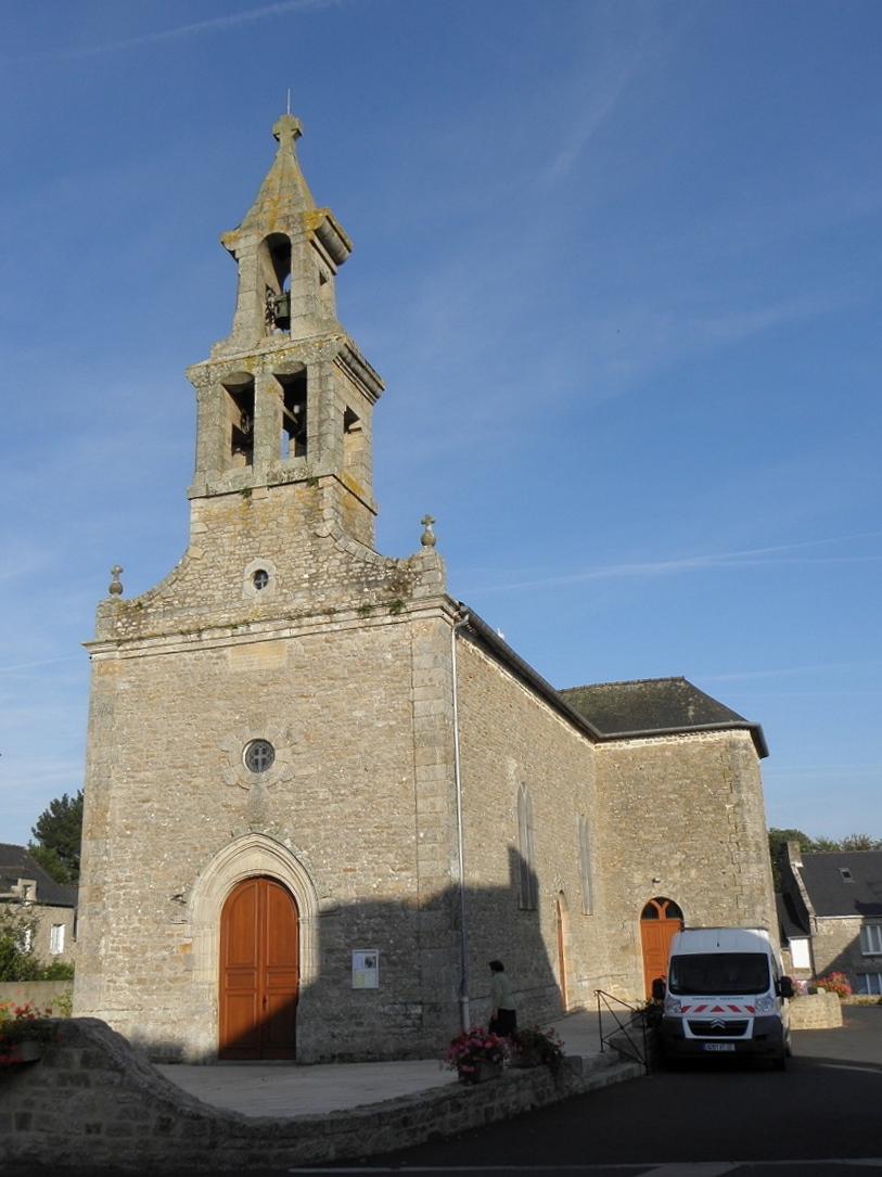
Saint-Carné
- commune in Côtes-d'Armor, France
- Country:
- Postal Code: 22100
- Coordinates: 48° 24' 57" N, 2° 3' 56" E
- GPS tracks (wikiloc): [Link]
- Area: 8.36 sq km
- Population: 1000


Calorguen
- commune in Côtes-d'Armor, France
- Country:
- Postal Code: 22100
- Coordinates: 48° 24' 37" N, 2° 1' 44" E
- GPS tracks (wikiloc): [Link]
- AboveSeaLevel: 60 м m
- Area: 8.48 sq km
- Population: 712


Taden
- commune in Côtes-d'Armor, France
- Country:
- Postal Code: 22100
- Coordinates: 48° 28' 32" N, 2° 1' 4" E
- GPS tracks (wikiloc): [Link]
- Area: 20.13 sq km
- Population: 2349
- Web site: [Link]

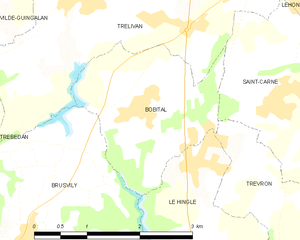
Bobital
- commune in Côtes-d'Armor, France
- Country:
- Postal Code: 22100
- Coordinates: 48° 24' 48" N, 2° 6' 11" E
- GPS tracks (wikiloc): [Link]
- Area: 4.99 sq km
- Population: 1087


Trévron
- commune in Côtes-d'Armor, France
- Country:
- Postal Code: 22100
- Coordinates: 48° 23' 29" N, 2° 3' 47" E
- GPS tracks (wikiloc): [Link]
- Area: 9.6 sq km
- Population: 696
- Web site: [Link]


Brusvily
- commune in Côtes-d'Armor, France
- Country:
- Postal Code: 22100
- Coordinates: 48° 23' 27" N, 2° 7' 38" E
- GPS tracks (wikiloc): [Link]
- Area: 11.83 sq km
- Population: 1183
Quévert
- commune in Côtes-d'Armor, France
- Country:
- Postal Code: 22100
- Coordinates: 48° 27' 49" N, 2° 5' 14" E
- GPS tracks (wikiloc): [Link]
- Area: 12.48 sq km
- Population: 3727
- Web site: [Link]


Plouër-sur-Rance
- commune in Côtes-d'Armor, France
- Country:
- Postal Code: 22490
- Coordinates: 48° 31' 40" N, 2° 0' 12" E
- GPS tracks (wikiloc): [Link]
- Area: 19.89 sq km
- Population: 3484
- Web site: [Link]


Aucaleuc
- commune in Côtes-d'Armor, France
- Country:
- Postal Code: 22100
- Coordinates: 48° 27' 22" N, 2° 7' 47" E
- GPS tracks (wikiloc): [Link]
- Area: 6.38 sq km
- Population: 932