canton of Froissy (canton de Froissy)
- canton of France (until March 2015)
- Country:

- Capital: Froissy
- Coordinates: 49° 33' 19" N, 2° 14' 46" E


- GPS tracks (wikiloc): [Link]
- Wikidata storage: Wikidata: Q142520
- Library of Congress authority ID: Alt: [n88096377]
- INSEE canton code: [6016]
Includes regions:


Saint-André-Farivillers
- commune in Oise, France
- Country:

- Postal Code: 60480
- Coordinates: 49° 35' 11" N, 2° 17' 34" E


- GPS tracks (wikiloc): [Link]
- Area: 11.35 sq km
- Population: 516


Campremy
- commune in Oise, France
- Country:

- Postal Code: 60480
- Coordinates: 49° 34' 14" N, 2° 18' 44" E


- GPS tracks (wikiloc): [Link]
- Area: 10.21 sq km
- Population: 505


Froissy
- commune in Oise, France
- Country:

- Postal Code: 60480
- Coordinates: 49° 34' 1" N, 2° 13' 16" E


- GPS tracks (wikiloc): [Link]
- Area: 6.56 sq km
- Population: 883
- Web site: [Link]


Bucamps
- commune in Oise, France
- Country:

- Postal Code: 60480
- Coordinates: 49° 31' 22" N, 2° 19' 18" E


- GPS tracks (wikiloc): [Link]
- Area: 5.82 sq km
- Population: 187


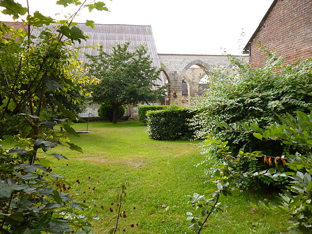
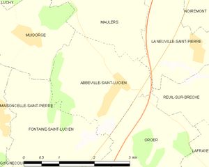
Abbeville-Saint-Lucien
- commune in Oise, France
- Country:

- Postal Code: 60480
- Coordinates: 49° 31' 1" N, 2° 10' 11" E


- GPS tracks (wikiloc): [Link]
- Area: 5.26 sq km
- Population: 492
La Neuville-Saint-Pierre
- commune in Oise, France
- Country:

- Postal Code: 60480
- Coordinates: 49° 31' 41" N, 2° 12' 16" E


- GPS tracks (wikiloc): [Link]
- Area: 4.11 sq km
- Population: 167


Thieux
- commune in Oise, France
- Country:

- Postal Code: 60480
- Coordinates: 49° 32' 32" N, 2° 18' 49" E


- GPS tracks (wikiloc): [Link]
- Area: 9.18 sq km
- Population: 425
- Web site: [Link]


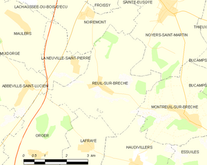
Reuil-sur-Brêche
- commune in Oise, France
- Country:

- Postal Code: 60480
- Coordinates: 49° 31' 14" N, 2° 13' 15" E


- GPS tracks (wikiloc): [Link]
- Area: 12.58 sq km
- Population: 325
Noirémont
- commune in Oise, France
- Country:

- Postal Code: 60480
- Coordinates: 49° 33' 1" N, 2° 12' 41" E


- GPS tracks (wikiloc): [Link]
- Area: 6.37 sq km
- Population: 176


Sainte-Eusoye
- commune in Oise, France
- Country:

- Postal Code: 60480
- Coordinates: 49° 34' 37" N, 2° 14' 43" E


- GPS tracks (wikiloc): [Link]
- Area: 8.48 sq km
- Population: 306
- Web site: [Link]
Puits-la-Vallée
- commune in Oise, France
- Country:

- Postal Code: 60480
- Coordinates: 49° 34' 57" N, 2° 11' 34" E


- GPS tracks (wikiloc): [Link]
- Area: 4.31 sq km
- Population: 205


Oursel-Maison
- commune in Oise, France
- Country:

- Postal Code: 60480
- Coordinates: 49° 35' 33" N, 2° 9' 47" E


- GPS tracks (wikiloc): [Link]
- Area: 6.97 sq km
- Population: 241
- Web site: [Link]


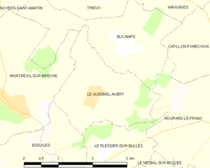
Le Quesnel-Aubry
- commune in Oise, France
- Country:

- Postal Code: 60480
- Coordinates: 49° 30' 31" N, 2° 18' 34" E


- GPS tracks (wikiloc): [Link]
- Area: 4.75 sq km
- Population: 215


Montreuil-sur-Brêche
- commune in Oise, France
- Country:

- Postal Code: 60480
- Coordinates: 49° 30' 29" N, 2° 16' 30" E


- GPS tracks (wikiloc): [Link]
- Area: 10.53 sq km
- Population: 509
Maisoncelle-Tuilerie
- commune in Oise, France
- Country:

- Postal Code: 60480
- Coordinates: 49° 35' 21" N, 2° 13' 12" E


- GPS tracks (wikiloc): [Link]
- Area: 7.72 sq km
- Population: 301


Hardivillers
- commune in Oise, France
- Country:

- Postal Code: 60120
- Coordinates: 49° 36' 59" N, 2° 13' 21" E


- GPS tracks (wikiloc): [Link]
- Area: 9.63 sq km
- Population: 558


Noyers-Saint-Martin
- commune in Oise, France
- Country:

- Postal Code: 60480
- Coordinates: 49° 33' 10" N, 2° 15' 43" E


- GPS tracks (wikiloc): [Link]
- Area: 13.27 sq km
- Population: 804
- Web site: [Link]