arrondissement of Clermont (arrondissement de Clermont)

- arrondissement of France
- Country:

- Capital: Clermont
- Coordinates: 49° 30' 0" N, 2° 25' 0" E


- GPS tracks (wikiloc): [Link]
- Area: 1142 sq km
- Population: 130675
- Wikipedia en: wiki(en)
- Wikipedia: wiki(fr)
- Wikidata storage: Wikidata: Q701009
- Freebase ID: [/m/0954nd]
- GeoNames ID: Alt: [3024642]
- INSEE arrondissement code: [602]
- GNS Unique Feature ID: -1420704
Includes regions:


canton of Mouy
- canton of France
- Country:
- Capital: Mouy
- Coordinates: 49° 19' 58" N, 2° 20' 21" E
- GPS tracks (wikiloc): [Link]
- Population: 36773
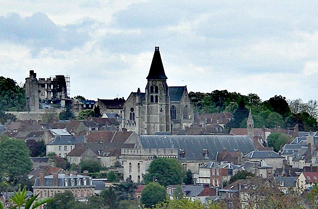

canton of Clermont
- canton of France
- Country:
- Capital: Clermont
- Coordinates: 49° 24' 29" N, 2° 26' 54" E
- GPS tracks (wikiloc): [Link]
- Population: 39214

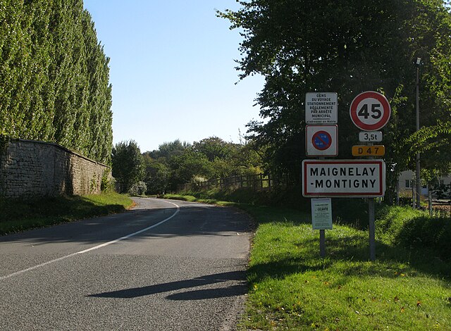
canton of Maignelay-Montigny
- canton of France (until March 2015)
- Country:
- Capital: Maignelay-Montigny
- Coordinates: 49° 33' 52" N, 2° 33' 28" E
- GPS tracks (wikiloc): [Link]


canton of Saint-Just-en-Chaussée
- canton of France
- Country:
- Capital: Saint-Just-en-Chaussée
- Coordinates: 49° 29' 29" N, 2° 28' 1" E
- GPS tracks (wikiloc): [Link]
- Population: 44408
Shares border with regions:


arrondissement of Montdidier
- arrondissement of France
- Country:
- Capital: Montdidier
- Coordinates: 49° 45' 0" N, 2° 35' 0" E
- GPS tracks (wikiloc): [Link]
- Area: 916 sq km
- Population: 47717