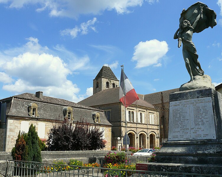
canton of Fumel (canton de Fumel)
- canton of France (until March 2015)
- Country:

- Capital: Fumel
- Coordinates: 44° 30' 0" N, 0° 58' 0" E


- GPS tracks (wikiloc): [Link]
- Wikidata storage: Wikidata: Q525474
- INSEE canton code: [4713]
Includes regions:


Blanquefort-sur-Briolance
- commune in Lot-et-Garonne, France
- Country:

- Postal Code: 47500
- Coordinates: 44° 36' 0" N, 0° 58' 12" E


- GPS tracks (wikiloc): [Link]
- Area: 41.93 sq km
- Population: 472
- Web site: [Link]


Condezaygues
- commune in Lot-et-Garonne, France
- Country:

- Postal Code: 47500
- Coordinates: 44° 29' 13" N, 0° 55' 0" E


- GPS tracks (wikiloc): [Link]
- Area: 10.81 sq km
- Population: 854


Saint-Front-sur-Lémance
- commune in Lot-et-Garonne, France
- Country:

- Postal Code: 47500
- Coordinates: 44° 34' 36" N, 0° 58' 18" E


- GPS tracks (wikiloc): [Link]
- Area: 19.58 sq km
- Population: 542


Sauveterre-la-Lémance
- commune in Lot-et-Garonne, France
- Country:

- Postal Code: 47500
- Coordinates: 44° 35' 22" N, 1° 0' 53" E


- GPS tracks (wikiloc): [Link]
- Area: 23.46 sq km
- Population: 528


Cuzorn
- commune in Lot-et-Garonne, France
- Country:

- Postal Code: 47500
- Coordinates: 44° 32' 42" N, 0° 56' 53" E


- GPS tracks (wikiloc): [Link]
- Area: 23.34 sq km
- Population: 854


Fumel
- commune in Lot-et-Garonne, France
- Country:

- Postal Code: 47500
- Coordinates: 44° 29' 55" N, 0° 58' 2" E


- GPS tracks (wikiloc): [Link]
- Area: 22.66 sq km
- Population: 4886
- Web site: [Link]


Monsempron-Libos
- commune in Lot-et-Garonne, France
- Country:

- Postal Code: 47500
- Coordinates: 44° 29' 27" N, 0° 56' 27" E


- GPS tracks (wikiloc): [Link]
- Area: 9.05 sq km
- Population: 2093
- Web site: [Link]