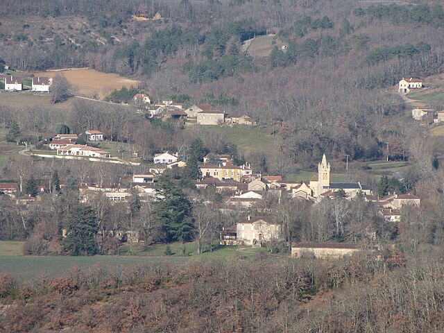
Fumel (Fumel)
- commune in Lot-et-Garonne, France
- Country:

- Postal Code: 47500
- Coordinates: 44° 29' 55" N, 0° 58' 2" E


- GPS tracks (wikiloc): [Link]
- Area: 22.66 sq km
- Population: 4886
- Web site: http://www.fumel-fr.com/viepratique/venir.htm
- Wikipedia en: wiki(en)
- Wikipedia: wiki(fr)
- Wikidata storage: Wikidata: Q659721
- Wikipedia Commons Category: [Link]
- Freebase ID: [/m/08w1pc]
- GeoNames ID: Alt: [3016903]
- SIREN number: [214701062]
- BnF ID: [15261187v]
- VIAF ID: Alt: [146943276]
- GND ID: Alt: [4709809-0]
- archINFORM location ID: [4023]
- Library of Congress authority ID: Alt: [no2005117901]
- MusicBrainz area ID: [fde35cfe-d46e-4524-86ba-2eb743d8666b]
- WOEID: [592262]
- INSEE municipality code: 47106
Shares border with regions:


Saint-Vite
- commune in Lot-et-Garonne, France
- Country:

- Postal Code: 47500
- Coordinates: 44° 28' 25" N, 0° 56' 25" E


- GPS tracks (wikiloc): [Link]
- Area: 5.47 sq km
- Population: 1171


Montayral
- commune in Lot-et-Garonne, France
- Country:

- Postal Code: 47500
- Coordinates: 44° 28' 46" N, 0° 59' 14" E


- GPS tracks (wikiloc): [Link]
- Area: 24.54 sq km
- Population: 2731


Saint-Front-sur-Lémance
- commune in Lot-et-Garonne, France
- Country:

- Postal Code: 47500
- Coordinates: 44° 34' 36" N, 0° 58' 18" E


- GPS tracks (wikiloc): [Link]
- Area: 19.58 sq km
- Population: 542


Soturac
- commune in Lot, France
- Country:

- Postal Code: 46700
- Coordinates: 44° 29' 19" N, 1° 1' 0" E


- GPS tracks (wikiloc): [Link]
- Area: 19.55 sq km
- Population: 627


Cuzorn
- commune in Lot-et-Garonne, France
- Country:

- Postal Code: 47500
- Coordinates: 44° 32' 42" N, 0° 56' 53" E


- GPS tracks (wikiloc): [Link]
- Area: 23.34 sq km
- Population: 854


Monsempron-Libos
- commune in Lot-et-Garonne, France
- Country:

- Postal Code: 47500
- Coordinates: 44° 29' 27" N, 0° 56' 27" E


- GPS tracks (wikiloc): [Link]
- Area: 9.05 sq km
- Population: 2093
- Web site: [Link]
