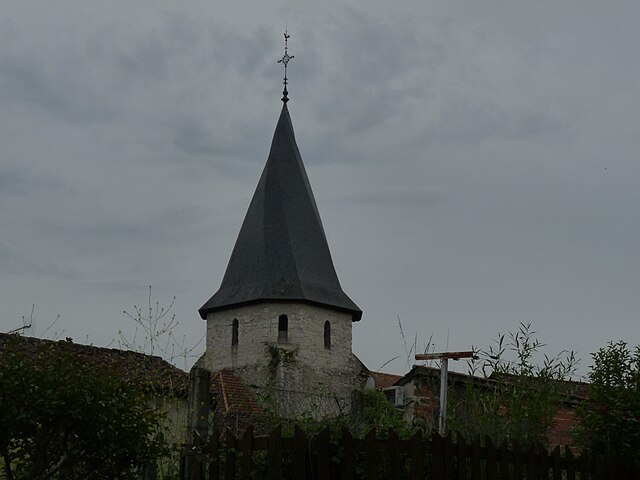
canton of Laplume (canton de Laplume)
- canton of France (until March 2015)
- Country:

- Capital: Laplume
- Coordinates: 44° 6' 46" N, 0° 31' 56" E


- GPS tracks (wikiloc): [Link]
- Wikidata storage: Wikidata: Q917596
- Wikipedia Commons Category: [Link]
- INSEE canton code: [4715]
Includes regions:


Moirax
- commune in Lot-et-Garonne, France
- Country:
- Postal Code: 47310
- Coordinates: 44° 8' 27" N, 0° 36' 32" E
- GPS tracks (wikiloc): [Link]
- Area: 16.2 sq km
- Population: 1157
- Web site: [Link]
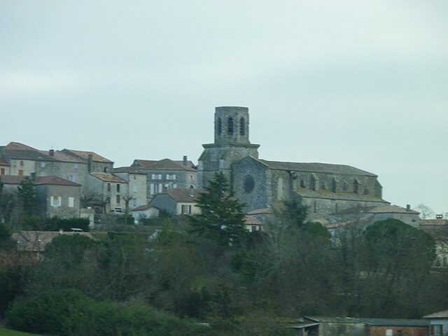

Laplume
- commune in Lot-et-Garonne, France
- Country:
- Postal Code: 47310
- Coordinates: 44° 6' 43" N, 0° 31' 52" E
- GPS tracks (wikiloc): [Link]
- Area: 32.64 sq km
- Population: 1462
- Web site: [Link]

Sérignac-sur-Garonne
- commune in Lot-et-Garonne, France
- Country:
- Postal Code: 47310
- Coordinates: 44° 12' 49" N, 0° 29' 6" E
- GPS tracks (wikiloc): [Link]
- Area: 8.91 sq km
- Population: 1150
- Web site: [Link]


Sainte-Colombe-en-Bruilhois
- commune in Lot-et-Garonne, France
- Country:
- Postal Code: 47310
- Coordinates: 44° 10' 39" N, 0° 30' 57" E
- GPS tracks (wikiloc): [Link]
- Area: 21.15 sq km
- Population: 1659
- Web site: [Link]


Marmont-Pachas
- commune in Lot-et-Garonne, France
- Country:
- Postal Code: 47220
- Coordinates: 44° 5' 19" N, 0° 35' 12" E
- GPS tracks (wikiloc): [Link]
- Area: 7.96 sq km
- Population: 150


Aubiac
- commune in Lot-et-Garonne, France
- Country:
- Postal Code: 47310
- Coordinates: 44° 8' 29" N, 0° 33' 39" E
- GPS tracks (wikiloc): [Link]
- Area: 13.86 sq km
- Population: 1095
- Web site: [Link]


Estillac
- commune in Lot-et-Garonne, France
- Country:
- Postal Code: 47310
- Coordinates: 44° 10' 6" N, 0° 34' 40" E
- GPS tracks (wikiloc): [Link]
- Area: 7.94 sq km
- Population: 1961
- Web site: [Link]


Roquefort
- commune in Lot-et-Garonne, France
- Country:
- Postal Code: 47310
- Coordinates: 44° 10' 27" N, 0° 33' 35" E
- GPS tracks (wikiloc): [Link]
- Area: 7.53 sq km
- Population: 1820
- Web site: [Link]


Brax
- commune in Lot-et-Garonne, France
- Country:
- Postal Code: 47310
- Coordinates: 44° 12' 11" N, 0° 33' 6" E
- GPS tracks (wikiloc): [Link]
- Area: 8.8 sq km
- Population: 2060
- Web site: [Link]