canton of Monpazier (canton de Monpazier)
- canton of France
- Country:

- Capital: Monpazier
- Coordinates: 44° 41' 14" N, 0° 52' 57" E


- GPS tracks (wikiloc): [Link]
- Wikidata storage: Wikidata: Q1726272
- Library of Congress authority ID: Alt: [n2011008167]
- INSEE canton code: [2420]
Includes regions:
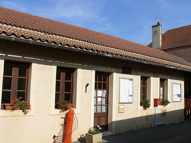

Vergt-de-Biron
- commune in Dordogne, France
- Country:
- Postal Code: 24540
- Coordinates: 44° 37' 59" N, 0° 50' 29" E
- GPS tracks (wikiloc): [Link]
- Area: 16.17 sq km
- Population: 193
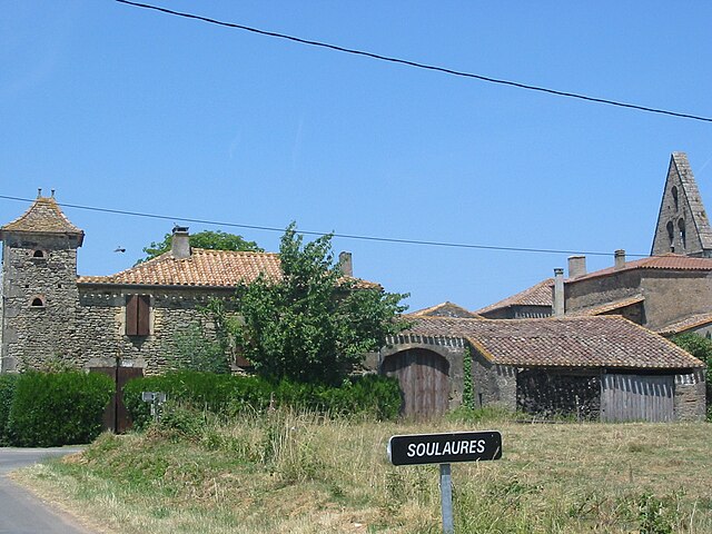

Soulaures
- commune in Dordogne, France
- Country:
- Postal Code: 24540
- Coordinates: 44° 39' 1" N, 0° 55' 24" E
- GPS tracks (wikiloc): [Link]
- Area: 10.28 sq km
- Population: 86