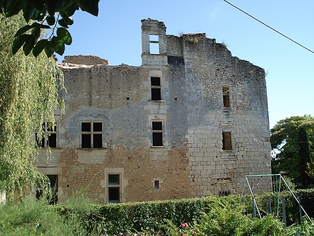
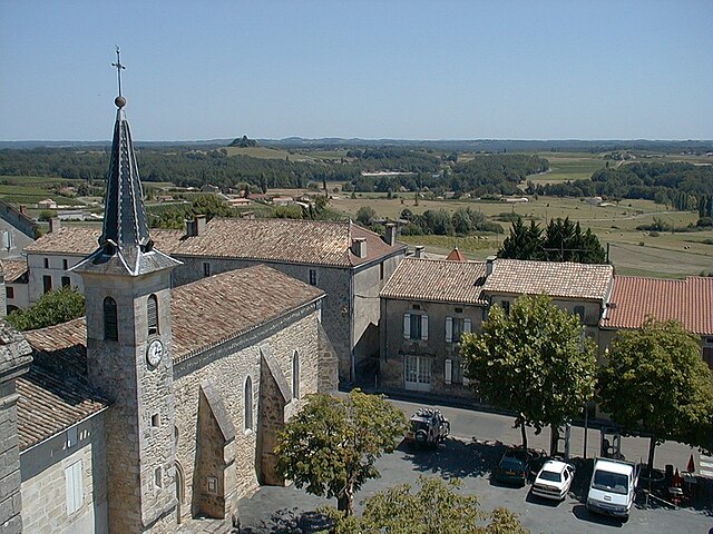
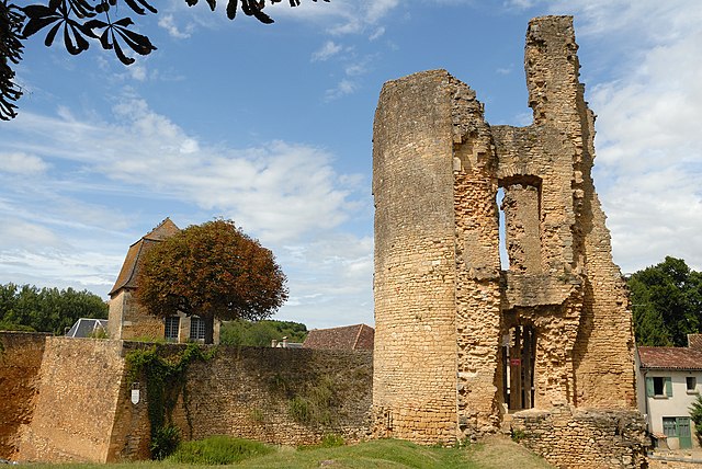
arrondissement of Bergerac (arrondissement de Bergerac)
- arrondissement of France
- Country:

- Capital: Bergerac
- Coordinates: 44° 51' 0" N, 0° 29' 0" E


- GPS tracks (wikiloc): [Link]
- Area: 2182 sq km
- Population: 103039
- Wikipedia en: wiki(en)
- Wikipedia: wiki(fr)
- Wikidata storage: Wikidata: Q700649
- Freebase ID: [/m/095g4f]
- GeoNames ID: Alt: [3033390]
- INSEE arrondissement code: [241]
- GNS Unique Feature ID: -1411931
Includes regions:


canton of Bergerac-1
- canton of France
- Country:

- Capital: Bergerac
- Coordinates: 44° 51' 0" N, 0° 29' 0" E


- GPS tracks (wikiloc): [Link]
- Population: 18715


canton of Bergerac-2
- canton of France
- Country:

- Capital: Bergerac
- Coordinates: 44° 51' 27" N, 0° 33' 22" E


- GPS tracks (wikiloc): [Link]
- Population: 18139

canton of Issigeac
- canton of France
- Country:

- Capital: Issigeac
- Coordinates: 44° 44' 37" N, 0° 36' 36" E


- GPS tracks (wikiloc): [Link]
- Area: 178.3 sq km

canton of Le Buisson-de-Cadouin
- canton of France
- Country:

- Capital: Le Buisson-de-Cadouin
- Coordinates: 44° 49' 0" N, 0° 53' 0" E


- GPS tracks (wikiloc): [Link]

canton of Villamblard
- canton of France
- Country:

- Capital: Villamblard
- Coordinates: 44° 58' 35" N, 0° 32' 0" E


- GPS tracks (wikiloc): [Link]

canton of Villefranche-de-Lonchat
- canton of France
- Country:

- Capital: Villefranche-de-Lonchat
- Coordinates: 44° 57' 6" N, 0° 6' 41" E


- GPS tracks (wikiloc): [Link]

canton of Beaumont-du-Périgord
- canton of France (until March 2015)
- Country:

- Capital: Beaumont-du-Périgord
- Coordinates: 44° 45' 20" N, 0° 46' 35" E


- GPS tracks (wikiloc): [Link]


canton of Lalinde
- canton of France
- Country:

- Capital: Lalinde
- Coordinates: 44° 51' 33" N, 0° 41' 17" E


- GPS tracks (wikiloc): [Link]
- Area: 651.64 sq km
- Population: 18305

canton of Sainte-Alvère
- canton of France (until March 2015)
- Country:

- Capital: Sainte-Alvère
- Coordinates: 44° 54' 59" N, 0° 48' 45" E


- GPS tracks (wikiloc): [Link]


