canton of Montcuq (canton de Montcuq)
- canton of France (until March 2015)
- Country:

- Capital: Montcuq
- Coordinates: 44° 21' 16" N, 1° 11' 37" E


- GPS tracks (wikiloc): [Link]
- Wikidata storage: Wikidata: Q1487248
- INSEE canton code: [4621]
Includes regions:

Le Boulvé
- commune in Lot, France
- Country:

- Postal Code: 46800
- Coordinates: 44° 25' 11" N, 1° 8' 51" E


- GPS tracks (wikiloc): [Link]
- Area: 19.51 sq km
- Population: 196
Bagat-en-Quercy
- commune in Lot, France
- Country:

- Postal Code: 46800
- Coordinates: 44° 22' 19" N, 1° 14' 31" E


- GPS tracks (wikiloc): [Link]
- AboveSeaLevel: 265 м m
- Area: 16.63 sq km
- Population: 197
Belmontet
- former commune in Lot, France
- Country:

- Postal Code: 46800
- Coordinates: 44° 21' 57" N, 1° 9' 13" E


- GPS tracks (wikiloc): [Link]
- Area: 12.12 sq km
- Population: 151
Lebreil
- former commune in Lot, France
- Country:

- Postal Code: 46800
- Coordinates: 44° 19' 23" N, 1° 10' 5" E


- GPS tracks (wikiloc): [Link]
- Area: 10.2 sq km
- Population: 175


Montlauzun
- commune in Lot, France
- Country:

- Postal Code: 46800
- Coordinates: 44° 17' 35" N, 1° 11' 45" E


- GPS tracks (wikiloc): [Link]
- Area: 6.48 sq km
- Population: 126


Lascabanes
- former commune in Lot, France
- Country:

- Postal Code: 46800
- Coordinates: 44° 20' 23" N, 1° 18' 26" E


- GPS tracks (wikiloc): [Link]
- Area: 16.58 sq km
- Population: 199


Saux
- former commune in Lot, France
- Country:

- Postal Code: 46800
- Coordinates: 44° 23' 24" N, 1° 5' 7" E


- GPS tracks (wikiloc): [Link]
- Area: 8.31 sq km
- Population: 112


Valprionde
- former commune in Lot, France
- Country:

- Postal Code: 46800
- Coordinates: 44° 20' 56" N, 1° 7' 9" E


- GPS tracks (wikiloc): [Link]
- Area: 15.92 sq km
- Population: 115


Saint-Laurent-Lolmie
- former commune in Lot, France
- Country:

- Postal Code: 46800
- Coordinates: 44° 17' 31" N, 1° 13' 42" E


- GPS tracks (wikiloc): [Link]
- AboveSeaLevel: 214 м m
- Area: 10.81 sq km
- Population: 196
Sainte-Croix
- former commune in Lot, France
- Country:

- Postal Code: 46800
- Coordinates: 44° 20' 23" N, 1° 9' 58" E


- GPS tracks (wikiloc): [Link]
- Area: 7.77 sq km
- Population: 67

Saint-Matré
- former commune in Lot, France
- Country:

- Postal Code: 46800
- Coordinates: 44° 24' 2" N, 1° 7' 10" E


- GPS tracks (wikiloc): [Link]
- Area: 6.41 sq km
- Population: 124

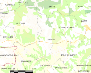
Fargues
- commune in Lot, France
- Country:

- Postal Code: 46800
- Coordinates: 44° 23' 56" N, 1° 10' 54" E


- GPS tracks (wikiloc): [Link]
- Area: 14.79 sq km
- Population: 152


Saint-Pantaléon
- commune in Lot, France
- Country:

- Postal Code: 46800
- Coordinates: 44° 22' 5" N, 1° 15' 57" E


- GPS tracks (wikiloc): [Link]
- Area: 19.37 sq km
- Population: 268
Saint-Cyprien
- former commune in Lot, France
- Country:

- Postal Code: 46800
- Coordinates: 44° 18' 28" N, 1° 15' 50" E


- GPS tracks (wikiloc): [Link]
- Area: 15.07 sq km
- Population: 267


Montcuq
- former commune in Lot, France
- Country:

- Postal Code: 46800
- Coordinates: 44° 20' 19" N, 1° 12' 35" E


- GPS tracks (wikiloc): [Link]
- Area: 32.22 sq km
- Population: 1207
- Web site: [Link]


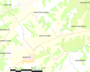
Saint-Daunès
- commune in Lot, France
- Country:

- Postal Code: 46800
- Coordinates: 44° 21' 24" N, 1° 13' 48" E


- GPS tracks (wikiloc): [Link]
- Area: 10.11 sq km
- Population: 217