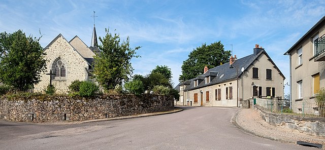
canton of Montsauche-les-Settons (canton de Montsauche-les-Settons)
- canton of France (until March 2015)
- Country:

- Capital: Montsauche-les-Settons
- Coordinates: 47° 12' 1" N, 4° 3' 44" E


- GPS tracks (wikiloc): [Link]
- Wikidata storage: Wikidata: Q1116797
- INSEE canton code: [5814]
Includes regions:


Gouloux
- commune in Nièvre, France
- Country:

- Postal Code: 58230
- Coordinates: 47° 14' 22" N, 4° 4' 38" E


- GPS tracks (wikiloc): [Link]
- Area: 21.94 sq km
- Population: 183


Moux-en-Morvan
- commune in Nièvre, France
- Country:

- Postal Code: 58230
- Coordinates: 47° 10' 17" N, 4° 9' 11" E


- GPS tracks (wikiloc): [Link]
- AboveSeaLevel: 493 м m
- Area: 42.51 sq km
- Population: 553
- Web site: [Link]


Saint-Agnan
- commune in Nièvre, France
- Country:

- Postal Code: 58230
- Coordinates: 47° 19' 5" N, 4° 5' 42" E


- GPS tracks (wikiloc): [Link]
- AboveSeaLevel: 580 м m
- Area: 23.87 sq km
- Population: 149


Saint-Brisson
- commune in Nièvre, France
- Country:

- Postal Code: 58230
- Coordinates: 47° 16' 16" N, 4° 5' 27" E


- GPS tracks (wikiloc): [Link]
- Area: 29.82 sq km
- Population: 271


Planchez
- commune in Nièvre, France
- Country:

- Postal Code: 58230
- Coordinates: 47° 8' 12" N, 4° 1' 0" E


- GPS tracks (wikiloc): [Link]
- Area: 43.65 sq km
- Population: 305


Ouroux-en-Morvan
- commune in Nièvre, France
- Country:

- Postal Code: 58230
- Coordinates: 47° 11' 9" N, 3° 56' 44" E


- GPS tracks (wikiloc): [Link]
- AboveSeaLevel: 550 м m
- Area: 60.56 sq km
- Population: 645
- Web site: [Link]


Chaumard
- commune in Nièvre, France
- Country:

- Postal Code: 58120
- Coordinates: 47° 8' 40" N, 3° 54' 43" E


- GPS tracks (wikiloc): [Link]
- Area: 16.15 sq km
- Population: 208


Montsauche-les-Settons
- commune in Nièvre, France
- Country:

- Postal Code: 58230
- Coordinates: 47° 12' 54" N, 4° 1' 33" E


- GPS tracks (wikiloc): [Link]
- AboveSeaLevel: 575 м m
- Area: 44.3 sq km
- Population: 541
- Web site: [Link]


Gien-sur-Cure
- commune in Nièvre, France
- Country:

- Postal Code: 58230
- Coordinates: 47° 8' 14" N, 4° 5' 58" E


- GPS tracks (wikiloc): [Link]
- Area: 11.04 sq km
- Population: 94


Alligny-en-Morvan
- commune in Nièvre, France
- Country:

- Postal Code: 58230
- Coordinates: 47° 12' 0" N, 4° 10' 38" E


- GPS tracks (wikiloc): [Link]
- Area: 48.85 sq km
- Population: 622