canton of Pellegrue (canton de Pellegrue)
- canton of France
- Country:

- Capital: Pellegrue
- Coordinates: 44° 44' 10" N, 0° 3' 7" E


- GPS tracks (wikiloc): [Link]
- Wikidata storage: Wikidata: Q26820
- INSEE canton code: [3334]
Includes regions:
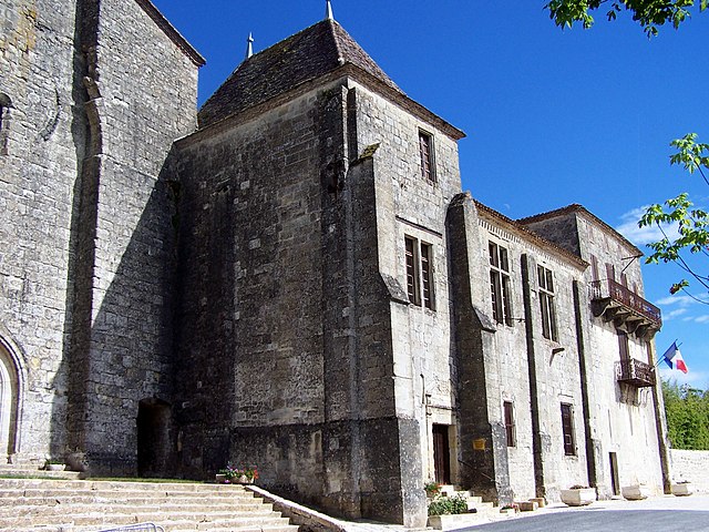

Saint-Ferme
- commune in Gironde, France
- Country:
- Postal Code: 33580
- Coordinates: 44° 41' 38" N, 0° 3' 28" E
- GPS tracks (wikiloc): [Link]
- Area: 20.09 sq km
- Population: 357


Saint-Antoine-du-Queyret
- commune in Gironde, France
- Country:
- Postal Code: 33790
- Coordinates: 44° 45' 47" N, 0° 0' 35" E
- GPS tracks (wikiloc): [Link]
- Area: 6.85 sq km
- Population: 68

Massugas
- commune in Gironde, France
- Country:
- Postal Code: 33790
- Coordinates: 44° 46' 6" N, 0° 5' 9" E
- GPS tracks (wikiloc): [Link]
- Area: 14.41 sq km
- Population: 226

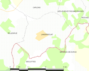
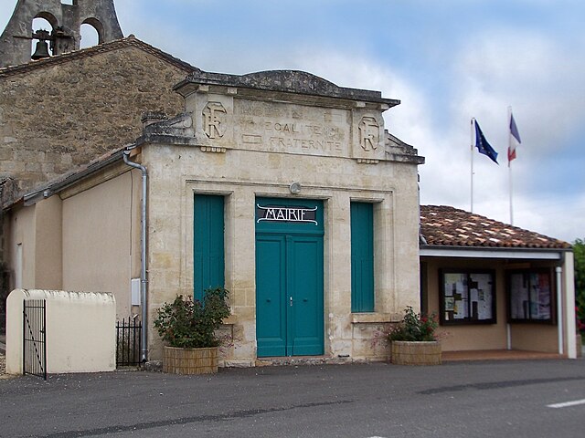
Landerrouat
- commune in Gironde, France
- Country:
- Postal Code: 33790
- Coordinates: 44° 44' 32" N, 0° 9' 31" E
- GPS tracks (wikiloc): [Link]
- Area: 4.99 sq km
- Population: 202


Soussac
- commune in Gironde, France
- Country:
- Postal Code: 33790
- Coordinates: 44° 43' 44" N, 0° 1' 10" E
- GPS tracks (wikiloc): [Link]
- Area: 6.61 sq km
- Population: 184


Caumont
- commune in Gironde, France
- Country:
- Postal Code: 33540
- Coordinates: 44° 41' 42" N, 0° 0' 17" E
- GPS tracks (wikiloc): [Link]
- AboveSeaLevel: 73 м m
- Area: 7.58 sq km
- Population: 155
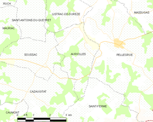
Auriolles
- commune in Gironde, France
- Country:
- Postal Code: 33790
- Coordinates: 44° 44' 30" N, 0° 2' 59" E
- GPS tracks (wikiloc): [Link]
- Area: 7.03 sq km
- Population: 133


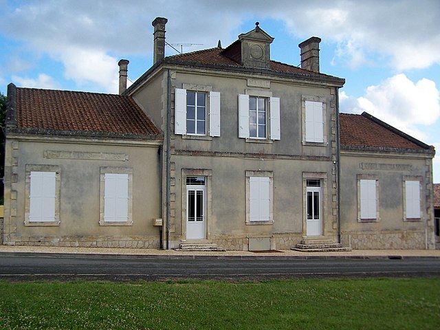
Pellegrue
- commune in Gironde, France
- Country:
- Postal Code: 33790
- Coordinates: 44° 44' 36" N, 0° 4' 31" E
- GPS tracks (wikiloc): [Link]
- Area: 38.18 sq km
- Population: 1098
- Web site: [Link]

Cazaugitat
- commune in Gironde, France
- Country:
- Postal Code: 33790
- Coordinates: 44° 42' 52" N, 0° 0' 24" E
- GPS tracks (wikiloc): [Link]
- Area: 14.35 sq km
- Population: 245

Listrac-de-Durèze
- commune in Gironde, France
- Country:
- Postal Code: 33790
- Coordinates: 44° 45' 43" N, 0° 2' 43" E
- GPS tracks (wikiloc): [Link]
- Area: 5.31 sq km
- Population: 172