canton of Peyrolles-en-Provence (canton de Peyrolles-en-Provence)
- canton of France
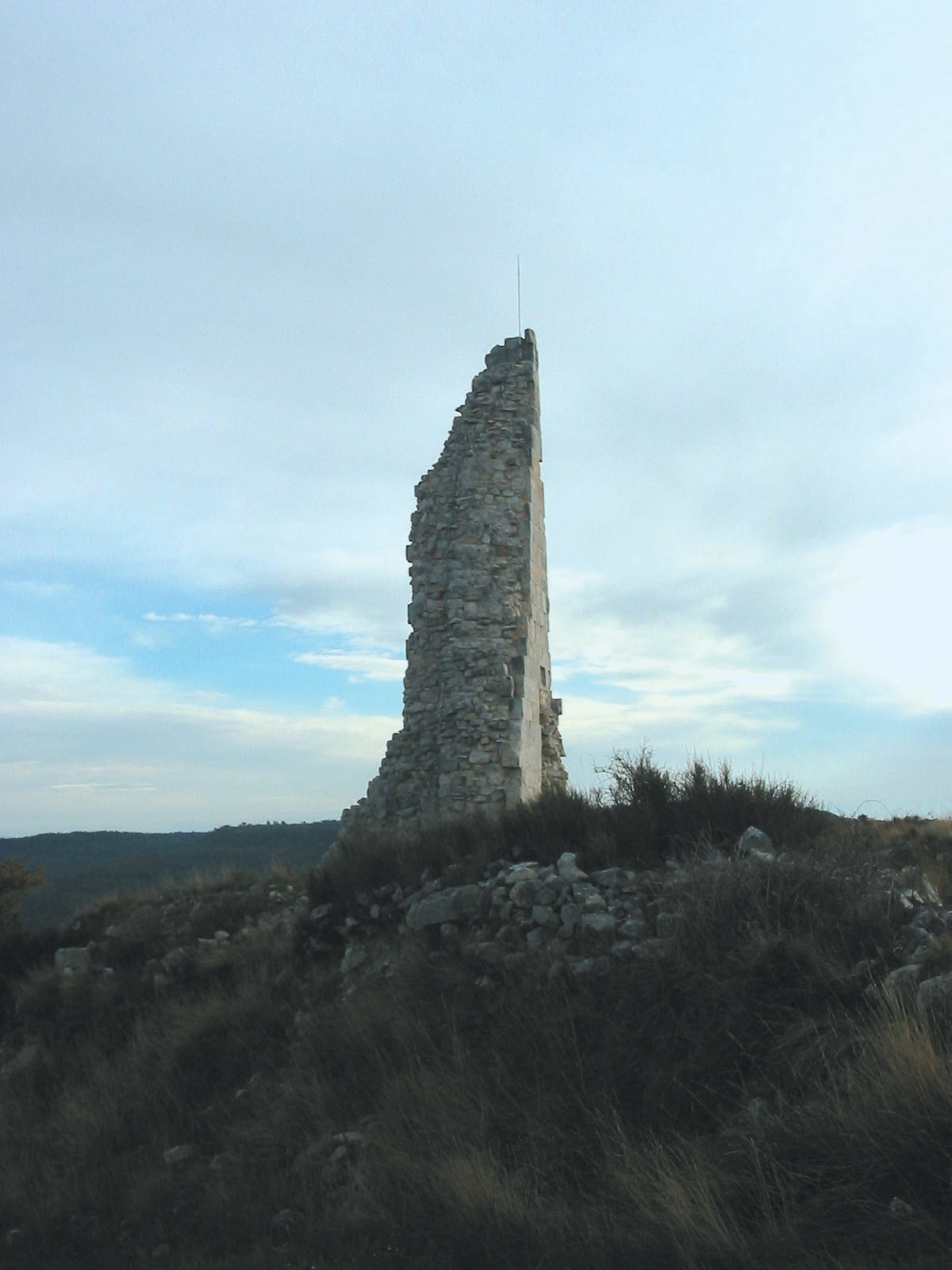
 Hiking in canton of Peyrolles-en-Provence
Canton de Peyrolles-en-Provence, nestled in the picturesque region of Provence in southern France, offers a variety of hiking opportunities that showcase the stunning landscapes, local flora and fauna, and charming villages. Here are some highlights you can expect when hiking in this area:
Scenic Trails
-
Les Gorges du Regalon: This picturesque gorge offers several well-marked trails. The hike provides dramatic views of limestone cliffs and the Regalon river, with the chance to see various wildlife along the route.
-
Montagne Sainte-Victoire: A bit further afield, this iconic mountain is visible from many points in Provence. There are numerous trails ranging from easy walks to more challenging hikes that will reward you with panoramic views of the surrounding countryside.
-
Provence's Vineyards: Many trails take you through the rolling vineyards, allowing hikers to experience the local wine culture. Don’t miss the opportunity to sample some local wines at several wineries along the way.
Natural Beauty
- The diverse landscapes include rocky hills, sunflower fields, olive groves, and lush vegetation, making every hike a visual treat.
- Birdwatchers will appreciate the variety of species in the area, particularly in the quieter, less disturbed regions.
Tips for Hiking in Canton de Peyrolles-en-Provence
- Best Time to Hike: The best months are typically from late spring (May and June) to early fall (September and October) when the weather is pleasant and the landscapes are vibrant.
- Equipment: Comfortable hiking shoes, sufficient water, a map or GPS device, and sun protection (sunscreen, hat) are a must, as some trails may be exposed.
- Local Regulations: Be aware of local guidelines and respect nature. Stay on marked paths and follow the Leave No Trace principles.
Local Culture
- Engage with the local culture by stopping in small villages, visiting local markets, or trying regional specialties, such as ratatouille or local cheeses, after your hike.
Navigation
- Many trails are well-marked with local signage. However, having a good map or a hiking app can be useful for exploring lesser-known paths or ensuring you stay on track.
Overall, hiking in Canton de Peyrolles-en-Provence can be an enriching experience, filled with natural beauty, cultural connections, and a chance to explore the stunning landscapes of Provence. Always check local trail information and weather conditions before heading out, and consider connecting with local hiking groups or guides for additional insights and safety.
- Country:

- Capital: Peyrolles-en-Provence
- Coordinates: 43° 38' 47" N, 5° 35' 9" E


- GPS tracks (wikiloc): [Link]
- Wikidata storage: Wikidata: Q1726682
- INSEE canton code: [1327]
Includes regions:


Peyrolles-en-Provence
- commune in Bouches-du-Rhône, France
Hiking in Peyrolles-en-Provence
Peyrolles-en-Provence, located in the Bouches-du-Rhône department in southern France, offers a variety of scenic hiking opportunities, characterized by beautiful landscapes, historical sites, and a pleasant Mediterranean climate....
- Country:
- Postal Code: 13860
- Coordinates: 43° 38' 44" N, 5° 35' 6" E
- GPS tracks (wikiloc): [Link]
- Area: 34.9 sq km
- Population: 4976
- Web site: [Link]


Jouques
- commune in Bouches-du-Rhône, France
Hiking in Jouques
Jouques is a delightful commune in the Bouches-du-Rhône department in the Provence-Alpes-Côte d'Azur region of southern France. The area offers a range of hiking opportunities, characterized by its picturesque landscapes, charming villages, and diverse flora and fauna....
- Country:
- Postal Code: 13490
- Coordinates: 43° 38' 13" N, 5° 38' 12" E
- GPS tracks (wikiloc): [Link]
- Area: 80.35 sq km
- Population: 4393


Meyrargues
- commune in Bouches-du-Rhône, France
Hiking in Meyrargues
Meyrargues is a picturesque commune located in the Provence-Alpes-Côte d'Azur region of France, surrounded by beautiful natural landscapes perfect for hiking. Here are some highlights and tips for hiking in and around Meyrargues:...
- Country:
- Postal Code: 13650
- Coordinates: 43° 38' 8" N, 5° 31' 42" E
- GPS tracks (wikiloc): [Link]
- Area: 41.67 sq km
- Population: 3745
- Web site: [Link]

Le Puy-Sainte-Réparade
- commune in Bouches-du-Rhône, France
Hiking in Le Puy-Sainte-Réparade
Le Puy-Sainte-Réparade is a charming commune located in the Provence-Alpes-Côte d'Azur region of southeastern France. While it may not be as widely known for hiking as some other areas in Provence, it offers beautiful landscapes and nearby trails perfect for outdoor enthusiasts. Here are some aspects of hiking in and around Le Puy-Sainte-Réparade:...
- Country:
- Postal Code: 13610
- Coordinates: 43° 39' 48" N, 5° 26' 14" E
- GPS tracks (wikiloc): [Link]
- Area: 46.29 sq km
- Population: 5557


Saint-Paul-lès-Durance
- commune in Bouches-du-Rhône, France
Hiking in Saint-Paul-lès-Durance
Saint-Paul-lès-Durance is a charming commune located in the Provence-Alpes-Côte d'Azur region of France, offering a picturesque setting for hiking enthusiasts. Nestled in a scenic area, it provides opportunities to explore the natural beauty of the region....
- Country:
- Postal Code: 13115
- Coordinates: 43° 41' 12" N, 5° 42' 28" E
- GPS tracks (wikiloc): [Link]
- Area: 45.81 sq km
- Population: 841
- Web site: [Link]