canton of Ploudalmézeau (canton de Ploudalmézeau)
- canton of France (until March 2015)
- Country:

- Capital: Ploudalmézeau
- Coordinates: 48° 31' 4" N, 4° 40' 27" E


- GPS tracks (wikiloc): [Link]
- Wikidata storage: Wikidata: Q1247824
- Library of Congress authority ID: Alt: [no2008050504]
- INSEE canton code: [2927]
Includes regions:

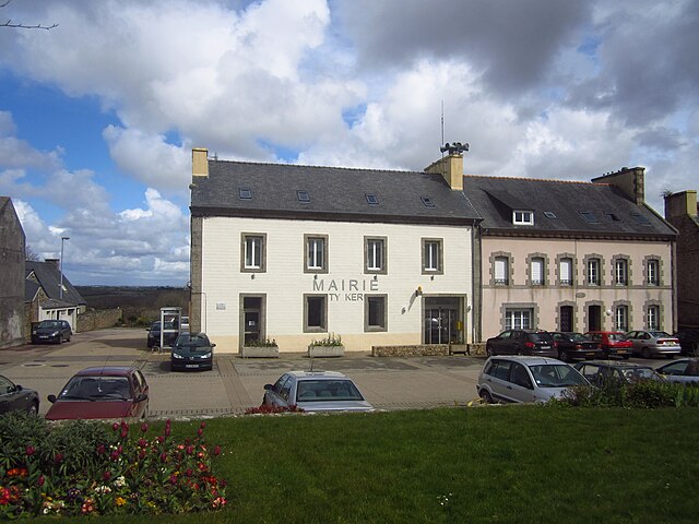
Ploudalmézeau
- commune in Finistère, France
- Country:
- Postal Code: 29830
- Coordinates: 48° 32' 25" N, 4° 39' 27" E
- GPS tracks (wikiloc): [Link]
- Area: 23.18 sq km
- Population: 6306
- Web site: [Link]
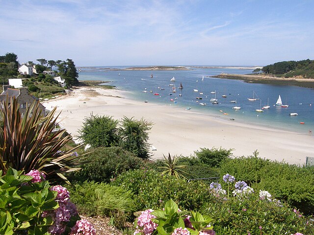

Saint-Pabu
- commune in Finistère, France
- Country:
- Postal Code: 29830
- Coordinates: 48° 33' 57" N, 4° 36' 10" E
- GPS tracks (wikiloc): [Link]
- Area: 9.94 sq km
- Population: 2077
- Web site: [Link]
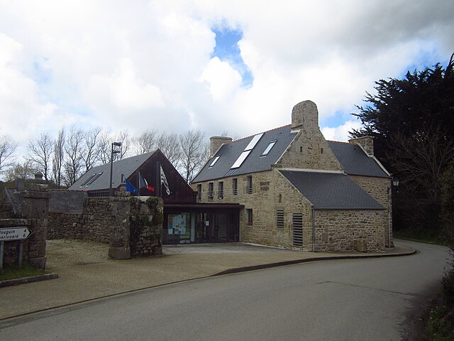
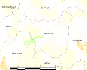
Tréouergat
- commune in Finistère, France
- Country:
- Postal Code: 29290
- Coordinates: 48° 29' 48" N, 4° 36' 9" E
- GPS tracks (wikiloc): [Link]
- Area: 6.1 sq km
- Population: 330

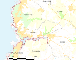
Lanildut
- commune in Finistère, France
- Country:
- Postal Code: 29840
- Coordinates: 48° 28' 24" N, 4° 44' 58" E
- GPS tracks (wikiloc): [Link]
- Area: 5.82 sq km
- Population: 947
- Web site: [Link]


Plourin
- commune in Finistère, France
- Country:
- Postal Code: 29830
- Coordinates: 48° 30' 34" N, 4° 41' 13" E
- GPS tracks (wikiloc): [Link]
- Area: 25.69 sq km
- Population: 1249
- Web site: [Link]
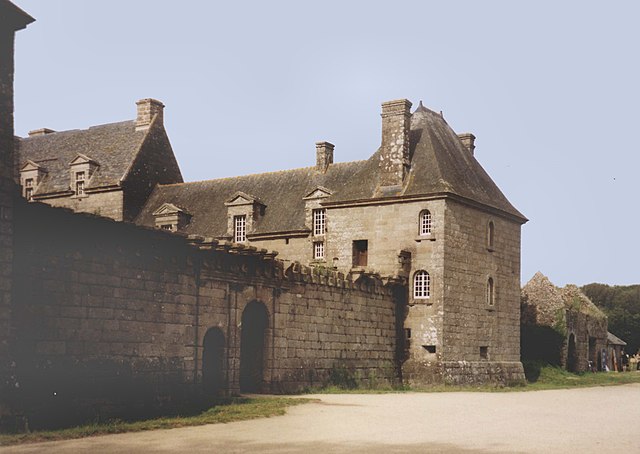
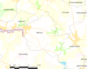
Brélès
- commune in Finistère, France
- Country:
- Postal Code: 29810
- Coordinates: 48° 28' 41" N, 4° 42' 49" E
- GPS tracks (wikiloc): [Link]
- Area: 14.06 sq km
- Population: 883

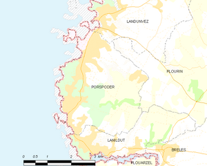
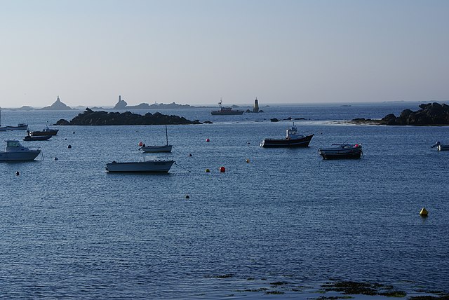
Porspoder
- commune in Finistère, France
- Country:
- Postal Code: 29840
- Coordinates: 48° 30' 0" N, 4° 46' 0" E
- GPS tracks (wikiloc): [Link]
- Area: 11.29 sq km
- Population: 1819


Lampaul-Ploudalmézeau
- commune in Finistère, France
- Country:
- Postal Code: 29830
- Coordinates: 48° 33' 41" N, 4° 39' 21" E
- GPS tracks (wikiloc): [Link]
- Area: 6.35 sq km
- Population: 842
- Web site: [Link]


Landunvez
- commune in Finistère, France
- Country:
- Postal Code: 29840
- Coordinates: 48° 31' 57" N, 4° 43' 37" E
- GPS tracks (wikiloc): [Link]
- Area: 13.53 sq km
- Population: 1483
- Web site: [Link]

Plouguin
- commune in Finistère, France
- Country:
- Postal Code: 29830
- Coordinates: 48° 31' 28" N, 4° 36' 4" E
- GPS tracks (wikiloc): [Link]
- Area: 31.02 sq km
- Population: 2131
- Web site: [Link]