canton of Pont-Scorff (canton de Pont-Scorff)
- canton of France (until March 2015)
- Country:

- Capital: Pont-Scorff
- Coordinates: 47° 48' 52" N, 3° 24' 41" E


- GPS tracks (wikiloc): [Link]
- Wikidata storage: Wikidata: Q1399451
- INSEE canton code: [5627]
Includes regions:
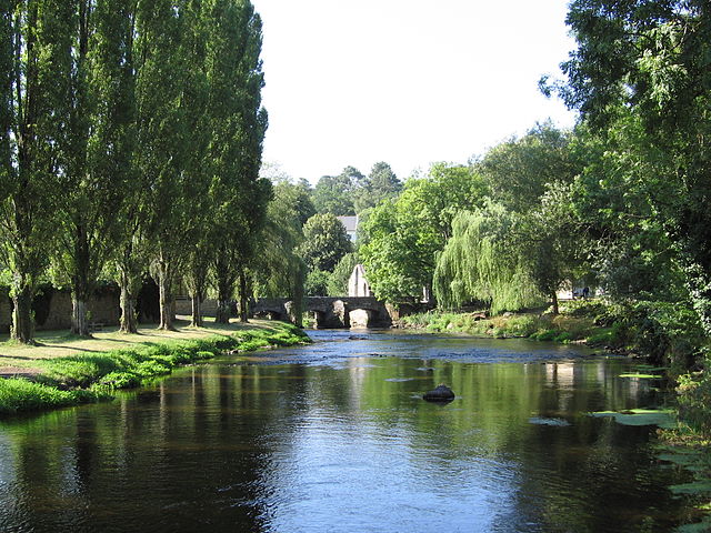

Pont-Scorff
- commune in Morbihan, France
- Country:
- Postal Code: 56620
- Coordinates: 47° 50' 0" N, 3° 24' 9" E
- GPS tracks (wikiloc): [Link]
- AboveSeaLevel: 30 м m
- Area: 23.5 sq km
- Population: 3710
- Web site: [Link]


Guidel
- commune in Morbihan, France
- Country:
- Postal Code: 56520
- Coordinates: 47° 47' 26" N, 3° 29' 19" E
- GPS tracks (wikiloc): [Link]
- AboveSeaLevel: 39 м m
- Area: 52.29 sq km
- Population: 11410
- Web site: [Link]


Gestel
- commune in Morbihan, France
- Country:
- Postal Code: 56530
- Coordinates: 47° 48' 12" N, 3° 26' 39" E
- GPS tracks (wikiloc): [Link]
- Area: 6.25 sq km
- Population: 2764


Cléguer
- commune in Morbihan, France
- Country:
- Postal Code: 56620
- Coordinates: 47° 51' 15" N, 3° 23' 2" E
- GPS tracks (wikiloc): [Link]
- AboveSeaLevel: 50 м m
- Area: 32.15 sq km
- Population: 3330