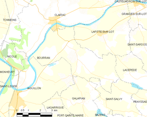
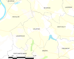
canton of Port-Sainte-Marie (canton de Port-Sainte-Marie)
- canton of France (until March 2015)
- Country:

- Capital: Port-Sainte-Marie
- Coordinates: 44° 15' 6" N, 0° 23' 53" E


- GPS tracks (wikiloc): [Link]
- Wikidata storage: Wikidata: Q257239
- Wikipedia Commons Category: [Link]
- INSEE canton code: [4727]
Includes regions:


Frégimont
- commune in Lot-et-Garonne, France
- Country:

- Postal Code: 47360
- Coordinates: 44° 16' 40" N, 0° 27' 30" E


- GPS tracks (wikiloc): [Link]
- Area: 7.59 sq km
- Population: 271


Bourran
- commune in Lot-et-Garonne, France
- Country:

- Postal Code: 47320
- Coordinates: 44° 20' 33" N, 0° 23' 37" E


- GPS tracks (wikiloc): [Link]
- Area: 18.16 sq km
- Population: 607


Port-Sainte-Marie
- commune in Lot-et-Garonne, France
- Country:

- Postal Code: 47130
- Coordinates: 44° 15' 2" N, 0° 23' 50" E


- GPS tracks (wikiloc): [Link]
- Area: 18.94 sq km
- Population: 1936
- Web site: [Link]


Galapian
- commune in Lot-et-Garonne, France
- Country:

- Postal Code: 47190
- Coordinates: 44° 17' 56" N, 0° 24' 49" E


- GPS tracks (wikiloc): [Link]
- Area: 9.25 sq km
- Population: 329


Nicole
- commune in Lot-et-Garonne, France
- Country:

- Postal Code: 47190
- Coordinates: 44° 19' 29" N, 0° 20' 10" E


- GPS tracks (wikiloc): [Link]
- Area: 4.78 sq km
- Population: 249


Lagarrigue
- commune in Lot-et-Garonne, France
- Country:

- Postal Code: 47190
- Coordinates: 44° 17' 49" N, 0° 22' 45" E


- GPS tracks (wikiloc): [Link]
- Area: 4.38 sq km
- Population: 285


Clermont-Dessous
- commune in Lot-et-Garonne, France
- Country:

- Postal Code: 47130
- Coordinates: 44° 14' 19" N, 0° 26' 44" E


- GPS tracks (wikiloc): [Link]
- Area: 15.08 sq km
- Population: 849
- Web site: [Link]


Bazens
- commune in Lot-et-Garonne, France
- Country:

- Postal Code: 47130
- Coordinates: 44° 15' 47" N, 0° 25' 20" E


- GPS tracks (wikiloc): [Link]
- Area: 12.21 sq km
- Population: 525


Aiguillon
- commune in Lot-et-Garonne, France
- Country:

- Postal Code: 47190
- Coordinates: 44° 18' 2" N, 0° 20' 15" E


- GPS tracks (wikiloc): [Link]
- Area: 28.28 sq km
- Population: 4346
- Web site: [Link]


Saint-Salvy
- commune in Lot-et-Garonne, France
- Country:

- Postal Code: 47360
- Coordinates: 44° 17' 59" N, 0° 26' 17" E


- GPS tracks (wikiloc): [Link]
- Area: 9.26 sq km
- Population: 189