canton of Rochefort-en-Terre (canton de Rochefort-en-Terre)
- canton of France (until March 2015)
- Country:

- Capital: Rochefort-en-Terre
- Coordinates: 47° 41' 46" N, 2° 18' 48" E


- GPS tracks (wikiloc): [Link]
- Wikidata storage: Wikidata: Q784908
- INSEE canton code: [5632]
Includes regions:


Saint-Gravé
- commune in Morbihan, France
- Country:
- Postal Code: 56220
- Coordinates: 47° 43' 33" N, 2° 16' 51" E
- GPS tracks (wikiloc): [Link]
- Area: 15.75 sq km
- Population: 756

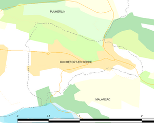
Rochefort-en-Terre
- commune in Morbihan, France
- Country:
- Postal Code: 56220
- Coordinates: 47° 41' 58" N, 2° 20' 12" E
- GPS tracks (wikiloc): [Link]
- AboveSeaLevel: 50 м m
- Area: 1.22 sq km
- Population: 632
- Web site: [Link]

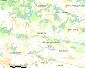
Pluherlin
- commune in Morbihan, France
- Country:
- Postal Code: 56220
- Coordinates: 47° 41' 47" N, 2° 21' 49" E
- GPS tracks (wikiloc): [Link]
- Area: 35.4 sq km
- Population: 1510


Saint-Congard
- commune in Morbihan, France
- Country:
- Postal Code: 56140
- Coordinates: 47° 46' 13" N, 2° 19' 2" E
- GPS tracks (wikiloc): [Link]
- Area: 21.87 sq km
- Population: 740


Caden
- commune in Morbihan, France
- Country:
- Postal Code: 56220
- Coordinates: 47° 37' 51" N, 2° 17' 17" E
- GPS tracks (wikiloc): [Link]
- Area: 38.1 sq km
- Population: 1637


Malansac
- commune in Morbihan, France
- Country:
- Postal Code: 56220
- Coordinates: 47° 40' 40" N, 2° 17' 41" E
- GPS tracks (wikiloc): [Link]
- Area: 36.18 sq km
- Population: 2167
- Web site: [Link]

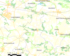
Limerzel
- commune in Morbihan, France
- Country:
- Postal Code: 56220
- Coordinates: 47° 38' 12" N, 2° 21' 14" E
- GPS tracks (wikiloc): [Link]
- Area: 25.15 sq km
- Population: 1343
Saint-Laurent-sur-Oust
- commune in Morbihan, France
- Country:
- Postal Code: 56140
- Coordinates: 47° 47' 39" N, 2° 19' 11" E
- GPS tracks (wikiloc): [Link]
- AboveSeaLevel: 10 м m
- Area: 3.88 sq km
- Population: 360
- Web site: [Link]