Malansac (Malansac)

- commune in Morbihan, France
- Country:

- Postal Code: 56220
- Coordinates: 47° 40' 40" N, 2° 17' 41" E


- GPS tracks (wikiloc): [Link]
- Area: 36.18 sq km
- Population: 2167
- Web site: http://www.malansac.fr
- Wikipedia en: wiki(en)
- Wikipedia: wiki(fr)
- Wikidata storage: Wikidata: Q70751
- Wikipedia Commons Category: [Link]
- Freebase ID: [/m/03c777f]
- GeoNames ID: Alt: [2996505]
- SIREN number: [215601238]
- BnF ID: [15265372b]
- VIAF ID: Alt: [244775387]
- INSEE municipality code: 56123
Shares border with regions:


Questembert
- commune in Morbihan, France
- Country:
- Postal Code: 56230
- Coordinates: 47° 39' 47" N, 2° 27' 8" E
- GPS tracks (wikiloc): [Link]
- Area: 66.38 sq km
- Population: 7440


Saint-Gravé
- commune in Morbihan, France
- Country:
- Postal Code: 56220
- Coordinates: 47° 43' 33" N, 2° 16' 51" E
- GPS tracks (wikiloc): [Link]
- Area: 15.75 sq km
- Population: 756


Saint-Jacut-les-Pins
- commune in Morbihan, France
- Country:
- Postal Code: 56220
- Coordinates: 47° 41' 7" N, 2° 12' 55" E
- GPS tracks (wikiloc): [Link]
- Area: 22.81 sq km
- Population: 1741
- Web site: [Link]

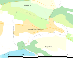
Rochefort-en-Terre
- commune in Morbihan, France
- Country:
- Postal Code: 56220
- Coordinates: 47° 41' 58" N, 2° 20' 12" E
- GPS tracks (wikiloc): [Link]
- AboveSeaLevel: 50 м m
- Area: 1.22 sq km
- Population: 632
- Web site: [Link]


Peillac
- commune in Morbihan, France
- Country:
- Postal Code: 56220
- Coordinates: 47° 42' 48" N, 2° 13' 9" E
- GPS tracks (wikiloc): [Link]
- Area: 24.57 sq km
- Population: 1861
- Web site: [Link]

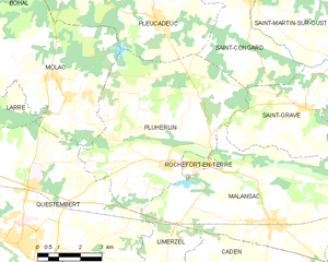
Pluherlin
- commune in Morbihan, France
- Country:
- Postal Code: 56220
- Coordinates: 47° 41' 47" N, 2° 21' 49" E
- GPS tracks (wikiloc): [Link]
- Area: 35.4 sq km
- Population: 1510


Caden
- commune in Morbihan, France
- Country:
- Postal Code: 56220
- Coordinates: 47° 37' 51" N, 2° 17' 17" E
- GPS tracks (wikiloc): [Link]
- Area: 38.1 sq km
- Population: 1637

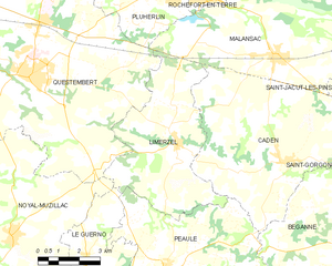
Limerzel
- commune in Morbihan, France
- Country:
- Postal Code: 56220
- Coordinates: 47° 38' 12" N, 2° 21' 14" E
- GPS tracks (wikiloc): [Link]
- Area: 25.15 sq km
- Population: 1343