canton of Saintes-Nord (canton de Saintes-Nord)
- canton of France
- Country:

- Capital: Saintes
- Coordinates: 45° 47' 20" N, 0° 36' 15" E


- GPS tracks (wikiloc): [Link]
- Wikidata storage: Wikidata: Q1727395
- INSEE canton code: [1734]
Includes regions:


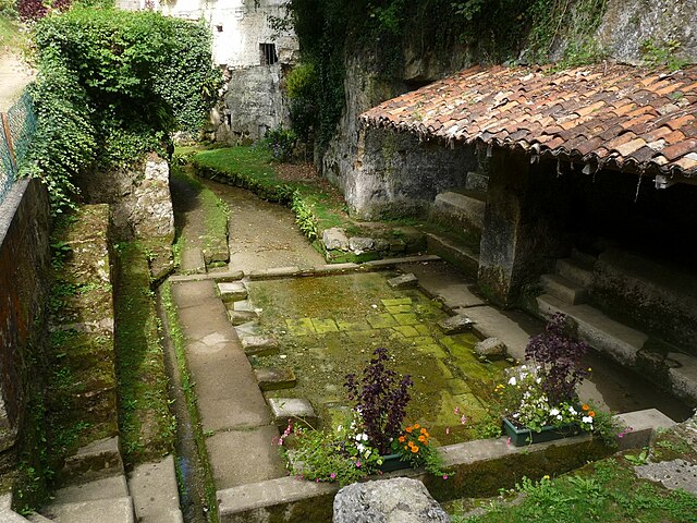
Fontcouverte
- commune in Charente-Maritime, France
- Country:
- Postal Code: 17100
- Coordinates: 45° 46' 18" N, 0° 35' 29" E
- GPS tracks (wikiloc): [Link]
- Area: 11.58 sq km
- Population: 2404
- Web site: [Link]


Bussac-sur-Charente
- commune in Charente-Maritime, France
- Country:
- Postal Code: 17100
- Coordinates: 45° 47' 10" N, 0° 38' 3" E
- GPS tracks (wikiloc): [Link]
- AboveSeaLevel: 12 м m
- Area: 9.98 sq km
- Population: 1266
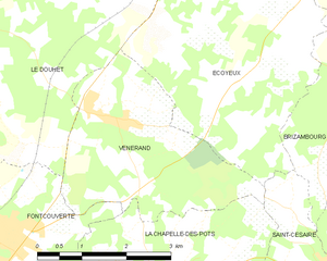
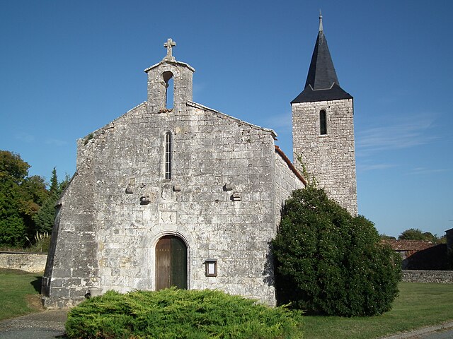
Vénérand
- commune in Charente-Maritime, France
- Country:
- Postal Code: 17100
- Coordinates: 45° 47' 37" N, 0° 33' 38" E
- GPS tracks (wikiloc): [Link]
- Area: 9.65 sq km
- Population: 761

Saint-Vaize
- commune in Charente-Maritime, France
- Country:
- Postal Code: 17100
- Coordinates: 45° 48' 44" N, 0° 37' 52" E
- GPS tracks (wikiloc): [Link]
- Area: 4.61 sq km
- Population: 618
- Web site: [Link]


Le Douhets
- commune in Charente-Maritime, France
- Country:
- Postal Code: 17100
- Coordinates: 45° 49' 13" N, 0° 34' 11" E
- GPS tracks (wikiloc): [Link]
- Area: 18.35 sq km
- Population: 702