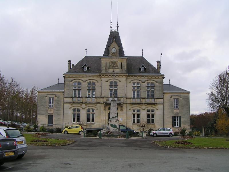
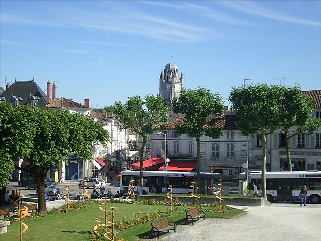
arrondissement of Saintes (arrondissement de Saintes)

- arrondissement of France
- Country:

- Capital: Saintes
- Coordinates: 45° 40' 0" N, 0° 45' 0" E


- GPS tracks (wikiloc): [Link]
- Area: 1546 sq km
- Population: 115546
- Wikipedia en: wiki(en)
- Wikipedia: wiki(fr)
- Wikidata storage: Wikidata: Q702457
- Freebase ID: [/m/095fz4]
- GeoNames ID: Alt: [2980339]
- INSEE arrondissement code: [174]
- GNS Unique Feature ID: -1465124
Includes regions:

canton of Saujon
- canton of France
- Country:
- Capital: Saujon
- Coordinates: 45° 41' 47" N, 0° 50' 49" E
- GPS tracks (wikiloc): [Link]
- Population: 21332


canton of Pons
- canton of France
- Country:
- Capital: Pons
- Coordinates: 45° 36' 6" N, 0° 29' 59" E
- GPS tracks (wikiloc): [Link]
- Population: 21277


canton of Saint-Porchaire
- canton of France
- Country:
- Capital: Saint-Porchaire
- Coordinates: 45° 50' 5" N, 0° 48' 17" E
- GPS tracks (wikiloc): [Link]
- Population: 20302
