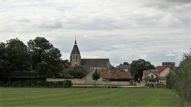
canton of Senonches (canton de Senonches)
- canton of France (until March 2015)
- Country:

- Capital: Senonches
- Coordinates: 48° 35' 28" N, 1° 3' 44" E


- GPS tracks (wikiloc): [Link]
- Wikidata storage: Wikidata: Q1504061
- INSEE canton code: [2822]
Includes regions:


La Framboisière
- commune in Eure-et-Loir, France
- Country:

- Postal Code: 28250
- Coordinates: 48° 35' 38" N, 1° 0' 48" E


- GPS tracks (wikiloc): [Link]
- Area: 5.23 sq km
- Population: 346
- Web site: [Link]


La Saucelle
- commune in Eure-et-Loir, France
- Country:

- Postal Code: 28250
- Coordinates: 48° 37' 49" N, 1° 1' 46" E


- GPS tracks (wikiloc): [Link]
- Area: 14.26 sq km
- Population: 189


Le Mesnil-Thomas
- commune in Eure-et-Loir, France
- Country:

- Postal Code: 28250
- Coordinates: 48° 35' 59" N, 1° 5' 45" E


- GPS tracks (wikiloc): [Link]
- Area: 16.34 sq km
- Population: 341


Jaudrais
- commune in Eure-et-Loir, France
- Country:

- Postal Code: 28250
- Coordinates: 48° 34' 40" N, 1° 7' 36" E


- GPS tracks (wikiloc): [Link]
- Area: 15.3 sq km
- Population: 381


Digny
- commune in Eure-et-Loir, France
- Country:

- Postal Code: 28250
- Coordinates: 48° 32' 10" N, 1° 9' 11" E


- GPS tracks (wikiloc): [Link]
- Area: 39.99 sq km
- Population: 954
- Web site: [Link]


Louvilliers-lès-Perche
- commune in Eure-et-Loir, France
- Country:

- Postal Code: 28250
- Coordinates: 48° 37' 22" N, 1° 4' 43" E


- GPS tracks (wikiloc): [Link]
- Area: 14.5 sq km
- Population: 178


Senonches
- commune in Eure-et-Loir, France
- Country:

- Postal Code: 28250
- Coordinates: 48° 33' 41" N, 1° 1' 50" E


- GPS tracks (wikiloc): [Link]
- Area: 62.48 sq km
- Population: 3092
- Web site: [Link]


La Puisaye
- commune in Eure-et-Loir, France
- Country:

- Postal Code: 28250
- Coordinates: 48° 36' 33" N, 0° 57' 22" E


- GPS tracks (wikiloc): [Link]
- Area: 20.5 sq km
- Population: 291