canton of Thouars-2 (canton de Thouars-2)
- canton of France
- Country:

- Capital: Thouars
- Coordinates: 47° 1' 4" N, 0° 13' 22" E


- GPS tracks (wikiloc): [Link]
- Wikidata storage: Wikidata: Q1704669
- INSEE canton code: [7932]
Includes regions:

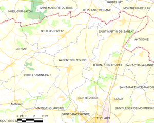
Argenton-l'Église
- commune in Deux-Sèvres, France
- Country:
- Postal Code: 79290
- Coordinates: 47° 2' 38" N, 0° 15' 38" E
- GPS tracks (wikiloc): [Link]
- Area: 25.86 sq km
- Population: 1638

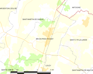
Brion-près-Thouet
- commune in Deux-Sèvres, France
- Country:
- Postal Code: 79290
- Coordinates: 47° 3' 5" N, 0° 11' 9" E
- GPS tracks (wikiloc): [Link]
- Area: 8.06 sq km
- Population: 763


Louzy
- commune in Deux-Sèvres, France
- Country:
- Postal Code: 79100
- Coordinates: 47° 0' 45" N, 0° 11' 6" E
- GPS tracks (wikiloc): [Link]
- Area: 18.64 sq km
- Population: 1343


Mauzé-Thouarsais
- commune in Deux-Sèvres, France
- Country:
- Postal Code: 79100
- Coordinates: 46° 58' 38" N, 0° 16' 37" E
- GPS tracks (wikiloc): [Link]
- Area: 49.53 sq km
- Population: 2204

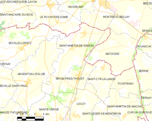
Saint-Martin-de-Sanzay
- commune in Deux-Sèvres, France
- Country:
- Postal Code: 79290
- Coordinates: 47° 4' 52" N, 0° 11' 57" E
- GPS tracks (wikiloc): [Link]
- Area: 24.69 sq km
- Population: 1059
- Web site: [Link]


Sainte-Radegonde
- commune in Deux-Sèvres, France
- Country:
- Postal Code: 79100
- Coordinates: 46° 59' 43" N, 0° 14' 52" E
- GPS tracks (wikiloc): [Link]
- AboveSeaLevel: 60 м m
- Area: 7.52 sq km
- Population: 1865
- Web site: [Link]

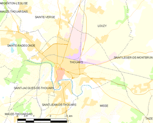
Thouars
- commune in Deux-Sèvres, France
- Country:
- Postal Code: 79100
- Coordinates: 46° 58' 30" N, 0° 12' 55" E
- GPS tracks (wikiloc): [Link]
- AboveSeaLevel: 100 м m
- Area: 12.09 sq km
- Population: 9225
- Web site: [Link]


Sainte-Verge
- commune in Deux-Sèvres, France
- Country:
- Postal Code: 79100
- Coordinates: 47° 0' 27" N, 0° 12' 44" E
- GPS tracks (wikiloc): [Link]
- Area: 12.83 sq km
- Population: 1414
- Web site: [Link]