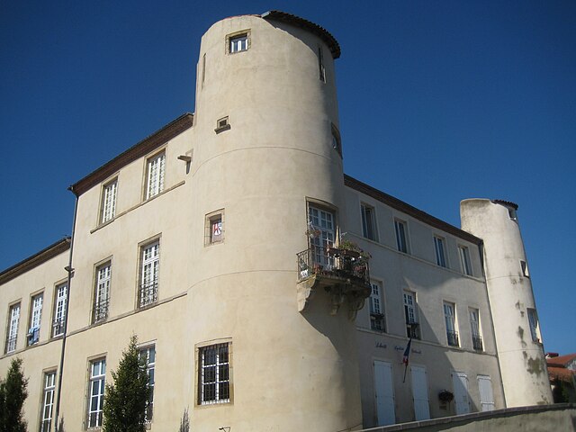
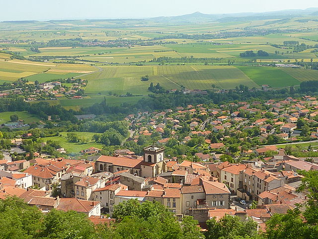
canton of Veyre-Monton (canton de Veyre-Monton)
- canton of France (until March 2015)
- Country:

- Capital: Veyre-Monton
- Coordinates: 45° 40' 22" N, 3° 9' 49" E


- GPS tracks (wikiloc): [Link]
- Wikidata storage: Wikidata: Q276391
- INSEE canton code: [6348]
Includes regions:


Authezat
- commune in Puy-de-Dôme, France
- Country:

- Postal Code: 63730
- Coordinates: 45° 37' 53" N, 3° 11' 5" E


- GPS tracks (wikiloc): [Link]
- Area: 5.79 sq km
- Population: 669
- Web site: [Link]


La Sauvetat
- commune in Puy-de-Dôme, France
- Country:

- Postal Code: 63730
- Coordinates: 45° 38' 9" N, 3° 10' 13" E


- GPS tracks (wikiloc): [Link]
- Area: 7.98 sq km
- Population: 707


Les Martres-de-Veyre
- commune in Puy-de-Dôme, France
- Country:

- Postal Code: 63730
- Coordinates: 45° 41' 3" N, 3° 11' 24" E


- GPS tracks (wikiloc): [Link]
- AboveSeaLevel: 346 м m
- Area: 9.28 sq km
- Population: 3949
- Web site: [Link]


Plauzat
- commune in Puy-de-Dôme, France
- Country:

- Postal Code: 63730
- Coordinates: 45° 37' 18" N, 3° 8' 56" E


- GPS tracks (wikiloc): [Link]
- Area: 13.01 sq km
- Population: 1610
Tallende
- commune in Puy-de-Dôme, France
- Country:

- Postal Code: 63450
- Coordinates: 45° 40' 13" N, 3° 7' 29" E


- GPS tracks (wikiloc): [Link]
- Area: 5.99 sq km
- Population: 1557
- Web site: [Link]


Le Crest
- commune in Puy-de-Dôme, France
- Country:

- Postal Code: 63450
- Coordinates: 45° 41' 12" N, 3° 7' 38" E


- GPS tracks (wikiloc): [Link]
- Area: 6.84 sq km
- Population: 1289
- Web site: [Link]


Corent
- commune in Puy-de-Dôme, France
- Country:

- Postal Code: 63730
- Coordinates: 45° 40' 1" N, 3° 11' 41" E


- GPS tracks (wikiloc): [Link]
- Area: 2.68 sq km
- Population: 709
- Web site: [Link]


Veyre-Monton
- commune in Puy-de-Dôme, France
- Country:

- Postal Code: 63960
- Coordinates: 45° 40' 37" N, 3° 9' 28" E


- GPS tracks (wikiloc): [Link]
- Area: 12.11 sq km
- Population: 3436
- Web site: [Link]


Le Cendre
- commune in Puy-de-Dôme, France
- Country:

- Postal Code: 63670
- Coordinates: 45° 43' 21" N, 3° 11' 14" E


- GPS tracks (wikiloc): [Link]
- Area: 4.22 sq km
- Population: 5233
- Web site: [Link]


La Roche-Blanche
- commune in Puy-de-Dôme, France
- Country:

- Postal Code: 63670
- Coordinates: 45° 42' 2" N, 3° 7' 35" E


- GPS tracks (wikiloc): [Link]
- Area: 11.6 sq km
- Population: 3260
- Web site: [Link]


Orcet
- commune in Puy-de-Dôme, France
- Country:

- Postal Code: 63670
- Coordinates: 45° 42' 13" N, 3° 10' 8" E


- GPS tracks (wikiloc): [Link]
- Area: 6 sq km
- Population: 2604
- Web site: [Link]