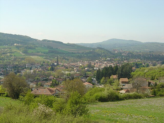
Le Crest (Le Crest)

- commune in Puy-de-Dôme, France
- Country:

- Postal Code: 63450
- Coordinates: 45° 41' 12" N, 3° 7' 38" E


- GPS tracks (wikiloc): [Link]
- Area: 6.84 sq km
- Population: 1289
- Web site: http://www.lecrest.fr/
- Wikipedia en: wiki(en)
- Wikipedia: wiki(fr)
- Wikidata storage: Wikidata: Q183201
- Wikipedia Commons Category: [Link]
- Freebase ID: [/m/03qh9jq]
- GeoNames ID: Alt: [6456329]
- SIREN number: [216301267]
- BnF ID: [15269476z]
- INSEE municipality code: 63126
Shares border with regions:
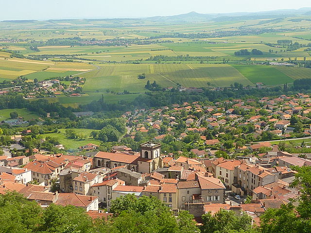
Tallende
- commune in Puy-de-Dôme, France
- Country:
- Postal Code: 63450
- Coordinates: 45° 40' 13" N, 3° 7' 29" E
- GPS tracks (wikiloc): [Link]
- Area: 5.99 sq km
- Population: 1557
- Web site: [Link]

Saint-Amant-Tallende
- commune in Puy-de-Dôme, France
- Country:
- Postal Code: 63450
- Coordinates: 45° 40' 8" N, 3° 6' 28" E
- GPS tracks (wikiloc): [Link]
- Area: 4.97 sq km
- Population: 1769

Veyre-Monton
- commune in Puy-de-Dôme, France
- Country:
- Postal Code: 63960
- Coordinates: 45° 40' 37" N, 3° 9' 28" E
- GPS tracks (wikiloc): [Link]
- Area: 12.11 sq km
- Population: 3436
- Web site: [Link]


Chanonat
- commune in Puy-de-Dôme, France
- Country:
- Postal Code: 63450
- Coordinates: 45° 41' 33" N, 3° 5' 44" E
- GPS tracks (wikiloc): [Link]
- Area: 12.7 sq km
- Population: 1662
- Web site: [Link]


La Roche-Blanche
- commune in Puy-de-Dôme, France
- Country:
- Postal Code: 63670
- Coordinates: 45° 42' 2" N, 3° 7' 35" E
- GPS tracks (wikiloc): [Link]
- Area: 11.6 sq km
- Population: 3260
- Web site: [Link]


Orcet
- commune in Puy-de-Dôme, France
- Country:
- Postal Code: 63670
- Coordinates: 45° 42' 13" N, 3° 10' 8" E
- GPS tracks (wikiloc): [Link]
- Area: 6 sq km
- Population: 2604
- Web site: [Link]