Pujo-le-Plan (Pujo-le-Plan)

- commune in Landes, France
- Country:

- Postal Code: 40190
- Coordinates: 43° 51' 42" N, 0° 19' 55" E


- GPS tracks (wikiloc): [Link]
- Area: 18.51 sq km
- Population: 630
- Wikipedia en: wiki(en)
- Wikipedia: wiki(fr)
- Wikidata storage: Wikidata: Q777522
- Wikipedia Commons Category: [Link]
- Freebase ID: [/m/03nvyst]
- GeoNames ID: Alt: [6433939]
- SIREN number: [214002388]
- BnF ID: [152591805]
- INSEE municipality code: 40238
Shares border with regions:
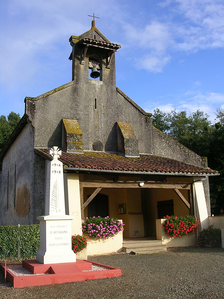

Artassenx
- commune in Landes, France
- Country:
- Postal Code: 40090
- Coordinates: 43° 50' 46" N, 0° 23' 50" E
- GPS tracks (wikiloc): [Link]
- Area: 5.5 sq km
- Population: 252


Saint-Gein
- commune in Landes, France
- Country:
- Postal Code: 40190
- Coordinates: 43° 50' 6" N, 0° 18' 4" E
- GPS tracks (wikiloc): [Link]
- Area: 17.85 sq km
- Population: 431

Perquie
- commune in Landes, France
- Country:
- Postal Code: 40190
- Coordinates: 43° 52' 39" N, 0° 17' 2" E
- GPS tracks (wikiloc): [Link]
- Area: 26.34 sq km
- Population: 355

Saint-Cricq-Villeneuve
- commune in Landes, France
- Country:
- Postal Code: 40190
- Coordinates: 43° 53' 27" N, 0° 21' 11" E
- GPS tracks (wikiloc): [Link]
- Area: 15.76 sq km
- Population: 480


Villeneuve-de-Marsan
- commune in Landes, France
- Country:
- Postal Code: 40190
- Coordinates: 43° 53' 35" N, 0° 18' 23" E
- GPS tracks (wikiloc): [Link]
- Area: 23.14 sq km
- Population: 2430


Laglorieuse
- commune in Landes, France
- Country:
- Postal Code: 40090
- Coordinates: 43° 52' 1" N, 0° 24' 20" E
- GPS tracks (wikiloc): [Link]
- Area: 11.59 sq km
- Population: 544

Maurrin
- commune in Landes, France
- Country:
- Postal Code: 40270
- Coordinates: 43° 49' 29" N, 0° 22' 21" E
- GPS tracks (wikiloc): [Link]
- Area: 13.38 sq km
- Population: 450
Castandet
- commune in Landes, France
- Country:
- Postal Code: 40270
- Coordinates: 43° 48' 25" N, 0° 20' 32" E
- GPS tracks (wikiloc): [Link]
- Area: 16.66 sq km
- Population: 398


Bougue
- commune in Landes, France
- Country:
- Postal Code: 40090
- Coordinates: 43° 53' 24" N, 0° 23' 33" E
- GPS tracks (wikiloc): [Link]
- Area: 21.96 sq km
- Population: 738