canton of Égletons (canton d'Égletons)
- canton of France
- Country:

- Capital: Égletons
- Coordinates: 45° 24' 26" N, 2° 2' 46" E


- GPS tracks (wikiloc): [Link]
- Population: 10181
- Wikipedia en: wiki(en)
- Wikipedia: wiki(fr)
- Wikidata storage: Wikidata: Q1728022
- Library of Congress authority ID: Alt: [n91070448]
- INSEE canton code: [1907]
Includes regions:
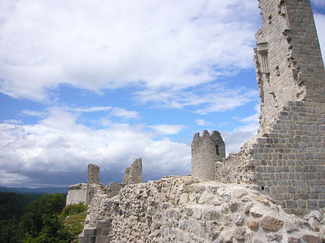

Moustier-Ventadour
- commune in Corrèze, France
- Country:

- Postal Code: 19300
- Coordinates: 45° 23' 44" N, 2° 6' 17" E


- GPS tracks (wikiloc): [Link]
- Area: 29.85 sq km
- Population: 477


Saint-Yrieix-le-Déjalat
- commune in Corrèze, France
- Country:

- Postal Code: 19300
- Coordinates: 45° 27' 25" N, 1° 58' 18" E


- GPS tracks (wikiloc): [Link]
- Area: 40.33 sq km
- Population: 353


Égletons
- commune in Corrèze, France
- Country:

- Postal Code: 19300
- Coordinates: 45° 24' 23" N, 2° 2' 43" E


- GPS tracks (wikiloc): [Link]
- Area: 16.85 sq km
- Population: 4274
- Web site: [Link]

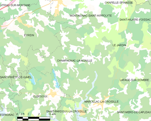
Champagnac-la-Noaille
- commune in Corrèze, France
- Country:

- Postal Code: 19320
- Coordinates: 45° 18' 29" N, 2° 1' 3" E


- GPS tracks (wikiloc): [Link]
- Area: 25.47 sq km
- Population: 244

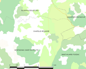
Chapelle-Spinasse
- commune in Corrèze, France
- Country:

- Postal Code: 19300
- Coordinates: 45° 21' 31" N, 2° 2' 31" E


- GPS tracks (wikiloc): [Link]
- AboveSeaLevel: 600 м m
- Area: 5.89 sq km
- Population: 116

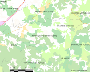
Montaignac-Saint-Hippolyte
- commune in Corrèze, France
- Country:

- Postal Code: 19300
- Coordinates: 45° 21' 14" N, 1° 58' 44" E


- GPS tracks (wikiloc): [Link]
- Area: 20.47 sq km
- Population: 564

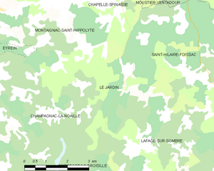
Le Jardin
- commune in Corrèze, France
- Country:

- Postal Code: 19300
- Coordinates: 45° 19' 17" N, 2° 2' 0" E


- GPS tracks (wikiloc): [Link]
- Area: 12.23 sq km
- Population: 84


Rosiers-d'Égletons
- commune in Corrèze, France
- Country:

- Postal Code: 19300
- Coordinates: 45° 22' 39" N, 2° 0' 29" E


- GPS tracks (wikiloc): [Link]
- Area: 38.18 sq km
- Population: 1063
- Web site: [Link]
